Post by Randy - Brandon, MS on Jan 28, 2009 14:14:26 GMT -6
From Dr. Tim Coleman at www.alabamawx.com :
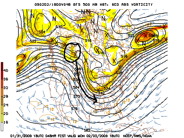
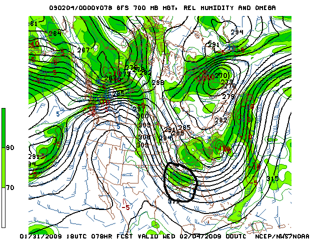
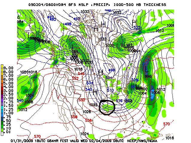
The computer models are in agreement on the overall pattern, with upper-level impulses approaching a weak front over the Gulf, forming a low pressure area near the Gulf coast Sunday night or Monday. This will bring precipitation to the southeast U.S., and likely snow for some areas. It’s still 5 days away, so a lot could change, but if the consensus of the models is right, this is the classic snow setup for Alabama (see blog from last week on this setup here.) The big question is: what part of Alabama?
The 12Z GFS, Canadian, UKMET, ECMWF, and NOGAPS models are in. The track of the low pressure center is critical. If the low is just south of the coast, from south of New Orleans to Tallahassee, the best chance for significant snow would be in Birmingham. This is roughly the scenario in the NOGAPS (except a little farther south) and the UKMET (a little farther north). The Canadian and the GFS show the low moving a little bit more north of the classic track for BHM, placing the heaviest snow in the Tennessee Valley. The ECMWF takes the low on a more northerly track, from the Gulf through Alabama…that would bring the snow more to Mississippi and west Tennessee. Model data is shown below.
One thing to point out…the GFS (and some other models) show this low really intensifying once it forms on Monday, with a favorable location relative to two jet streams aloft. So, somebody in the U.S. could get a lot of snow out of this one, and there will be a lot of cold air coming in on the back side of it. If the low is intense as forecast by some models, accumulating snow would fall as far south as BHM even if the track is a little too far north for us to be in the main snow band. For example, if the GFS is correct, parts of southern Tennessee and extreme north Alabama could get over 8″ of snow, but the snow could linger long enough for central Alabama to have 1-3″ accumulations.


