


Post by SKYSUMMIT on May 9, 2021 17:32:01 GMT -6
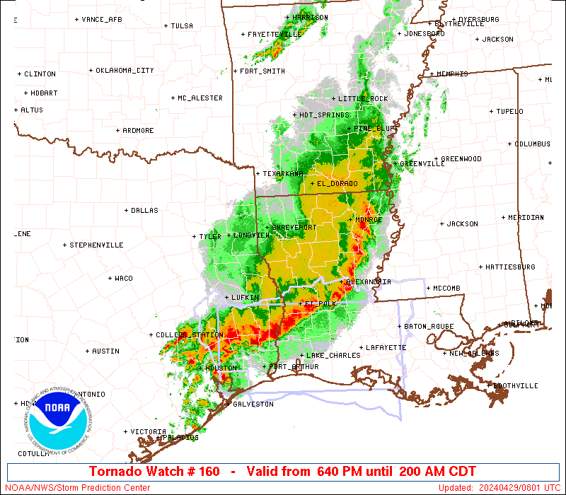
Severe Thunderstorm Watch Number 160
NWS Storm Prediction Center Norman OK
545 PM CDT Sun May 9 2021
The NWS Storm Prediction Center has issued a
* Severe Thunderstorm Watch for portions of
Central Louisiana
Southeast Texas
* Effective this Sunday afternoon and Monday morning from 545 PM
until 100 AM CDT.
* Primary threats include...
Scattered large hail and isolated very large hail events to 2
inches in diameter likely
Scattered damaging wind gusts to 70 mph likely
A tornado or two possible
SUMMARY...A cluster of intense thunderstorms over eastern Texas will
move eastward this evening across the watch area. The stronger
cores will pose a risk of hail and damaging wind gusts.
The severe thunderstorm watch area is approximately along and 50
statute miles north and south of a line from 65 miles west of Fort
Polk LA to 30 miles east of Alexandria LA. For a complete depiction
of the watch see the associated watch outline update (WOUS64 KWNS
WOU0).
PRECAUTIONARY/PREPAREDNESS ACTIONS...
REMEMBER...A Severe Thunderstorm Watch means conditions are
favorable for severe thunderstorms in and close to the watch area.
Persons in these areas should be on the lookout for threatening
weather conditions and listen for later statements and possible
warnings. Severe thunderstorms can and occasionally do produce
tornadoes.
&&
OTHER WATCH INFORMATION...CONTINUE...WW 157...WW 158...WW 159...
AVIATION...A few severe thunderstorms with hail surface and aloft to
2 inches. Extreme turbulence and surface wind gusts to 60 knots. A
few cumulonimbi with maximum tops to 500. Mean storm motion vector
27030.
...Hart


