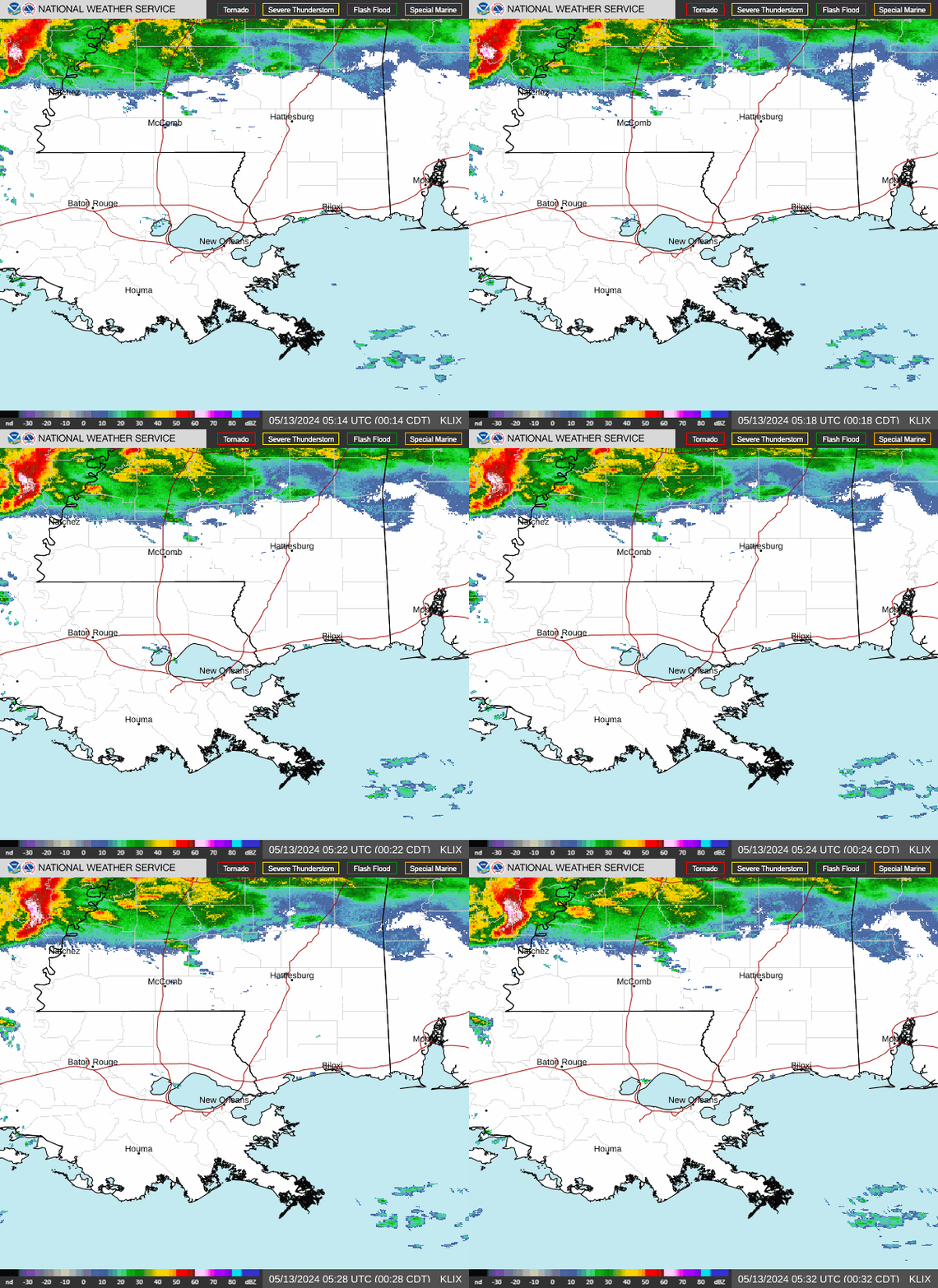
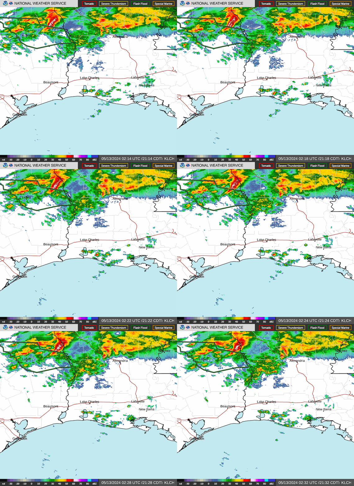
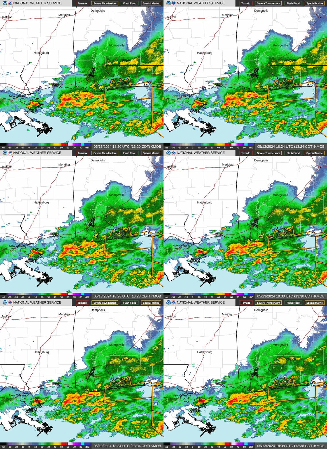
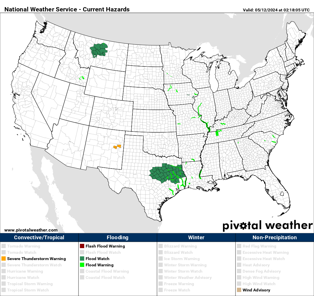
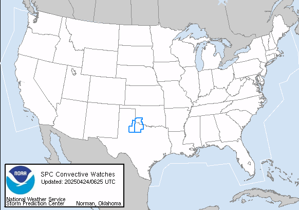
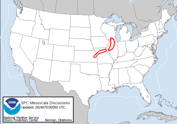
I'll gladly take a bit of rain to alleviate any more severe weather to my north....
It's amazing how severe weather so consistently develops just north of the southern side of the north shore
It really is the same to me. I12 and North. There was a huge wedge tornado that moved across the North part of Lake Maurepas, across Aikers near Manchac and dissipated as it reached Madisonville a few years ago. Also the NOLA East wedge in the 2017 outbreak. Perhaps we will begin to see larger and more outbreaks South of the lake as the climate changes.
Can anyone explain in layman’s terms why bad weather often goes around Lake Pontchartrain?
All I can think of is the warming of land during the day adds a lot of energy to the atmosphere and adds to storm development....the lake for much of the year is cooler than the land during the day especially and does not warm much as the day goes on like land does.......so the air moving over the water, though moist, is more stable in comparison......so perhaps that's why we see what we do during certain setups and wind directions.
I'm sort of educated guessing here as obviously we do see rough weather all around...but I do think weather travelling west to east with a strong southerly component wind in front might be affected as I mentioned....
Can anyone explain in layman’s terms why bad weather often goes around Lake Pontchartrain?
I wonder if it really is like that or just our perception. I tend to agree with you. What happened to the cold fronts that would come roaring in from the NW, cross the lake and Northshore, then here? Remember you would have a squall line with 20 minutes of rain and thunder then the cooler air followed by clearing. Just does not seem that simple anymore.
Though much of our view of weather trends I'd agree are in our heads instead of based in reality or science, I do think severe weather is almost always biased further away from the coast.....
No warnings as of right now in Louisiana, but that broken line continues to slide east with a bit of southeast motion as well. I was wondering if I'd even get a drop here in Ponchatoula. I believe I will now.
Hammond, LA NWS COOP ID: 16-7425-08 CoCoRaHs ID: LA-TG-23
Post by grisairgasm on May 4, 2021 16:41:55 GMT -6
Last decade or so I’ve come to believe that when it is windy here during a severe outbreak then the actual severe weather is further W, NW, N , and NE. Basically makes sense to me that the air mass is flowing to the lowest of pressure and / or instability. Not always but most of the time imo.
No warnings as of right now in Louisiana, but that broken line continues to slide east with a bit of southeast motion as well. I was wondering if I'd even get a drop here in Ponchatoula. I believe I will now.
Yup the whole southern edge is growing legs to the south...
This was the notch I talked about earlier. The local storm reports match it as well, but the main rotation would have passed north of Flowood here.
This makes sense. Flowood Drive is marked as Flowood here. My office is along that road north of the one marked Flowood. That would be Lakeland. Thanks for this!
Wow! It looks like it passed right over my parent's old house, where I grew up, before it headed to Lakeland! Woodlea on Hanging Moss just barely south of I-220 and old County Line Rd.! Randy, have you heard any damage reports from that area? Really unusual for it to track SE. When I was growing up, most of the tornadoes that came close to us came from the Utica area.
There’s TONS of tree damage all over the place and light structural damage in places. It won’t be super high on the Fujita Scale, but it tracked through some heavily populated areas.
Post by grisairgasm on May 4, 2021 17:05:53 GMT -6
I don’t like to politicize science and I’m not sure man fully understands if and what we are doing to the environment. But, in my opinion we are quickly evolving into a climate never seen before. For good or bad. Just rapidly becoming different to me. I also have a nasty feeling starting June 1st of this year.