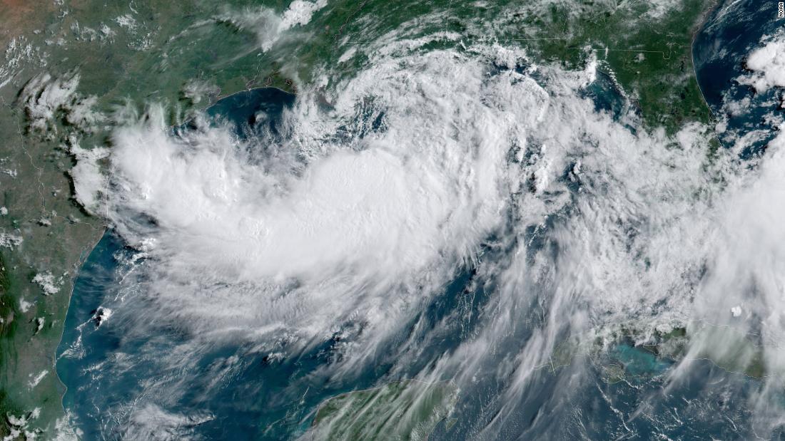
A little more actually showing up on the latest HRRR. Totals aren't as high as earlier, but it's spreading a little more into the north shore. God we're so pathetic LOL
Buying or Selling Real Estate?--->scottguidry.com United Real Estate Partners - New Orleans / North Shore Scott Guidry, Realtor, ABR, AHWD, AWREP, C2EX Click HERE To Download My FREE MLS Touch App! NWS COOP ID: 16-7425-08 CoCoRaHs ID: LA-TG-23
A little more actually showing up on the latest HRRR. Totals aren't as high as earlier, but it's spreading a little more into the north shore. God we're so pathetic LOL
Post by Mike T.- Chackbay,La on Jan 14, 2022 20:51:50 GMT -6
Me and the fam are camping at Natalbany Creek this weekend. Might get to catch a flake or two. Whoohoo!!!❄️❄️❄️ Didn’t come up here just for that, was already planned for the long weekend- but a possible added bonus! 😂
Post by lsuhurricane on Jan 14, 2022 21:26:48 GMT -6
From the late night LIX forecast disco update:
As for Winter Weather, the key will be the path of the mid level low. The trend had been a little south so we shall see if that continues. If the low can get a touch farther south then light snow would be possible in southwest MS, not just flurries. Flurries do look likely in southwest MS and the adjacent LA parishes but could even be possible down to I-12. The next thing to watch which we wont see till tomorrow evening will be how much moisture can wrap around it. All indications suggest there could be a rather decent amount of moisture wrapping around, probably due to what looks like an impressive TROWAL ahead of it across MS and AL. We did bring flurries a little farther south with this update but holding off on any real accumulating snow at this time. Grids and zones will be out shortly. /CAB/
Post by Shibumi-Mandeville I-12/Hwy59 on Jan 15, 2022 8:43:07 GMT -6
NWS LIX mentioned special weather baloons will be sent up this afternoon and evening to help forecast the upcoming storm......the Carolinas are in for it with the heavy ice component added in.
The upper low is starting to get going over Oklahoma. I like what I'm seeing with its current movement...MAYBE a tad farther south than what has been forecast. The latest HRRR seems to be taking this SLIGHTLY farther south track into account because it's actually showing a little more than flurries into the north shore. Something to watch because this would give southwest Mississippi a dusting.
Buying or Selling Real Estate?--->scottguidry.com United Real Estate Partners - New Orleans / North Shore Scott Guidry, Realtor, ABR, AHWD, AWREP, C2EX Click HERE To Download My FREE MLS Touch App! NWS COOP ID: 16-7425-08 CoCoRaHs ID: LA-TG-23
northshoreelise: not on the 12z...
Oct 10, 2024 12:15:21 GMT -6
lencast: Really would appreciate it. Thank you, Lena
Sept 27, 2024 5:20:46 GMT -6
lencast: I am in Jacksonville, and trying to drive back to New Orleans. Does anyone here know if the I-10 is passable in Lake City and Tallahassee.
Sept 27, 2024 5:19:03 GMT -6
tcane: This sure looks like it dies quickly. maybe falling apart before metro New Orleans? Just looking at the lat dozen posts and images here.
Sept 10, 2024 11:26:27 GMT -6
rebekahb-Metairie: Looks like it but I wait for the better trained eyes on the forum to respond.
Sept 9, 2024 18:52:32 GMT -6
SKYSUMMIT: Oh sorry guys! I didn't eve see these new messages down here lol
Jul 26, 2024 13:14:47 GMT -6
jenniqtip: Just as soon as* sry fat finger
Jul 7, 2024 12:53:35 GMT -6
jenniqtip: I donate every year. 😀ju sry as soon as the first area of interest pops up!! I rarely post though so the tag isn’t necessary. Just know I appreciate everything you do!!
Jul 7, 2024 12:53:12 GMT -6
larcat: SKYSUMMIT You can slap one on me
Jul 7, 2024 12:12:03 GMT -6
SKYSUMMIT: Thanks laismyhome ! Also, if there is anyone who has donated that has not been given the Supporter tag, please let us know.
Jul 7, 2024 4:00:50 GMT -6
laismyhome: Here's a friendly reminder to go make a donation to support this forum that is so full of valuable reliable info. Link to donate is on homepage
Jul 2, 2024 9:55:24 GMT -6
Deleted: Ernesto gonna mog hard. I'm voting Alberto, Ernesto, Rafael and Deshawn
Apr 1, 2024 19:15:21 GMT -6
SKYSUMMIT: ShanaBanana Yes...just click the link and then send a PM to either TIgergirl or myself. I can then shoot her a text letting her know and I'll add your supporter tag. THANK YOU!!!!
Sept 23, 2023 16:08:37 GMT -6
ShanaBanana: At the risk of this being a dumb question. In order to donate, do I follow the instructions when I click “donate”, and then message tigergirl? I see people comment here that they donated, so I wasn’t sure if that had changed.
Sept 20, 2023 10:54:40 GMT -6
SKYSUMMIT: Great to have you back!
Sept 11, 2023 12:20:30 GMT -6
virginialee: Hi Skysummit: I was part of this back at the beginning. So happy to be back.
Sept 8, 2023 5:08:12 GMT -6
SKYSUMMIT: Thanks to everyone who has recently donated! If I missed anyone and you still need a Supporter Tag, let me know.
Sept 7, 2023 13:20:10 GMT -6
akeller11: Just donated
Sept 6, 2023 11:11:36 GMT -6
SKYSUMMIT: Thanks guys and gals! You're very much appreciated!
Aug 30, 2023 11:48:38 GMT -6