Post by Deleted on Feb 14, 2008 13:58:53 GMT -6
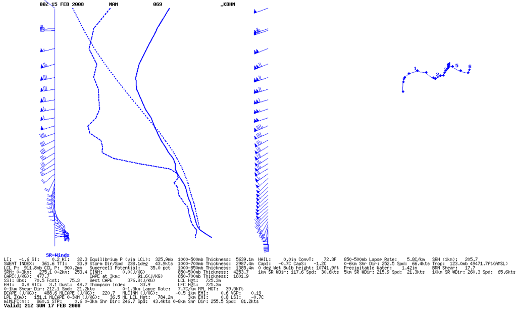
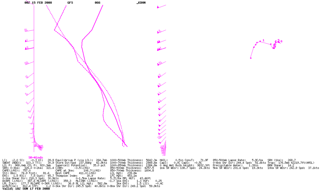
An early-hand look. I believe there is going to be a tornado threat starting early Sunday morning, beginning out west first, also accompanied by a wind damage threat.
Unlike the last event from Tuesday, February 12, this upcoming weather will be a high shear, low cape environment.
Last event was the other way around. It was a low shear, high cape environment.
When you have a low shear, high cape environment, it is more user-friendly to chase such storms, because the SPEED of the storms is less.
Also, more importantly, in a low shear, high cape environment, you get a tornado that lasts longer on the ground: This means better response time to get to it while it is still on the ground.
However, when you have high shear, low cape environment, it means a very brief and short-lived tornado, which gives you no repsonse time, as it is too brief & short-lived to get to it. Plus these storms will be fast movers: Forecast storm direction and speed is from 220 to 230 degrees at 41 kts. That means the storms are forecast to be moving FROM the southwest TO the northeast at speeds of 41 kts/47 mph. You'll have to hope that you can get on a southwest - northeast oriented road to keep up with these fast-movers. Stair-stepping on roads that go east then north; east then north and you'll lose the storm.
Instability with this situation is a real hurting problem. Instability was not a problem at all on the last event on Tues. Dec. 12.
However, the trade-off with this upcoming event is that shear will be a lot higher than last time, and dynamics should also be a notch better too, which will have to compensate for the lackluster instability.
I was also examining some forecast model sounding out to 72 hours, (12 Z SUnday morning), 6 AM Sunday morning. I see a forecast cap between layers 950 mb and 850 mb. What this can mean is that there'll be little activity ahead of the squall line.
Now, it is true that dynamics can bust the cap, in the event it is strong enough. This is much too early to say, as there's still a scattering all over the place of how FAR the upper low/shortwave trough progresses, as it lifts up to the north/northeast.
In the event it progresses eastward as it lifts out, then expect better dynamics. In the event there's little progression and hangs out west, then the better the dynamics remain to the west and heavier rain threat to the west as well.


