Post by futuremet on Aug 11, 2008 22:43:25 GMT -6
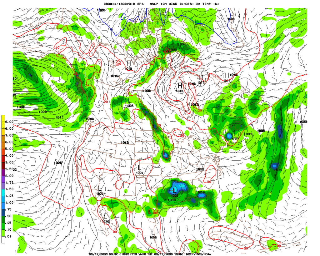
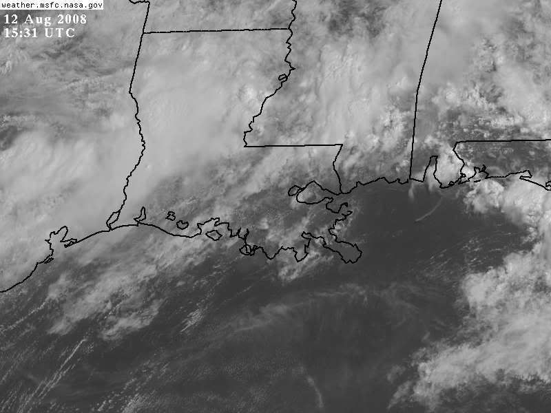
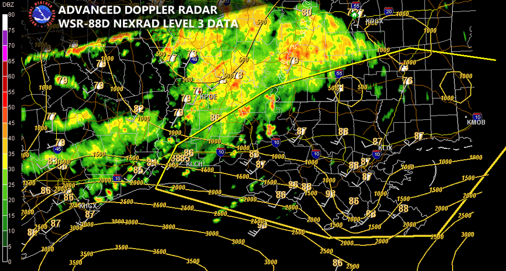
Tomorrow an unusually strong shortwave trough and associated low pressure will be pushing across the region. The surface low should begin developing overnight in the ARKLATEX region, and it should track generally eastward across northern LA and into Central-Northern MS by tomorrow afternoon. Convection should have no problem developing. Upper level divergence looks great with NW/N UL winds across the southern part of the area and westerly across the northern areas. Low level convergence will also be maximized in association with the surface low and warm front boundary. Bottom line: Lift is there for widespread thunderstorms (actually such widespread precip that it will actually limit the severe threat in many areas). Instability looks good in southern MS/ Louisiana, increasing as you go further south away from the larger precip shield. As the shortwave approaches LI’s will increase (or decrease, however your thinking of it) to –4, -5. Sweats should generally be around 300 which is marginal for severe storms. Capes look to generally be running around 2000-3000 J/kj (likely more in areas that receive more daytime heating) on the southshore. Areas further north look to have Capes around 1500-2000 J/kj (southern Mississippi) decreasing to less than 1000 J/kj in Central-Northern MS. ML Capes generally look to be running around 500-1000 J/kj across the region. Shear is the big story here. As one goes further north towards the surface low better shear dynamics exist. The best area for more backed surface winds looks to be across central/southern MS. Low level shear looks very impressive for August. The northshore and southern/central MS look to have about 20-30 knots of 1km shear and 3km shear. 0-3km shear will be around 100 m2/s2 across the southshore increasing as one goes further north to around 150-250 m2/s2 increasing over time and further east as well. 0-1km shear generally looks to be around 100-150+ m2/s2 across exterme northern northshore/Southern MS/AL. 0-6km shear isn’t great but looks to be sufficient. 500mb winds also look sufficient around 25-35 knots. The highest threat for severe weather tomorrow looks to be across Southern/Central MS and towards the northshore where the best shear and instability dynamics appear to coincide. I’d give an isolated chance at a severe storm on the southshore. The main threats looks to be wind dmg and a few tornadoes along with the possibility of isolated hail. This may progress as well into an overnight event with the potential for a few tornadoes/dmg winds across Southern AL/GA/FL panhandle if enough instability is available. It will be interesting to see how this pans out tomorrow nonetheless given this unusually strong system for August.
