Post by Jason Moreland on Dec 21, 2008 0:47:23 GMT -6
First lets discuss what has been happening lately and what will occur through Monday night...
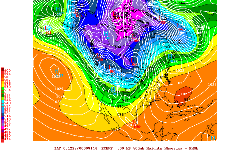
The mid-level ridge that has been anchored over the Gulf for most of the Fall has shifted east. We've seen stronger troughing over the central US in its wake. The southerly flow ahead of the troughing is the cause for the abnormally warm temperatures and humidity lately. We're just begging for a collision of airmasses with such conditions present in late December. It's almost 80 degrees over here whereas much of the Midwest is sitting at -20º.
Some of this arctic air WILL make it to the Gulf Coast. As of midnight, a cold front is entering northern Louisiana and will pass through the Gulf Coast later today. Highs won't get out of the 50s and lows Monday morning will be in the upper 20s on the northshore. Showers are likely ahead of the cold front. However, thunderstorms are not expected due to the lack of lift/instability and not enough shear.
Northerly flow behind the frontal passage will dry/clear us out and shutdown the Gulf through Monday.
By Tuesday the warm temperatures and high dewpoints (>60) return in earnest. On Christmas Eve and Christmas (Wed/Thurs), a 2nd shortwave trough and associated cold front will pass just to our north. This will increase our rain chances, but as of now the front is NOT forecast to pass through our area. Therefore, that system should only ENHANCE the Gulf moisture return. This will set the stage for what is to follow.
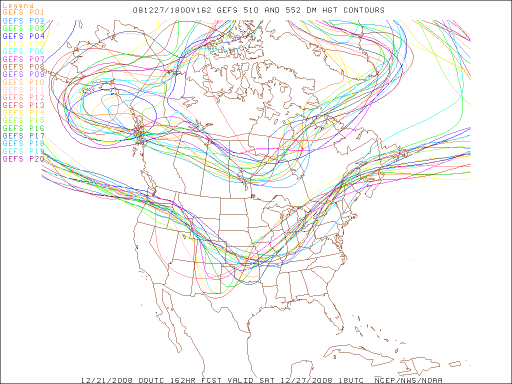
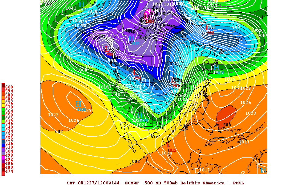
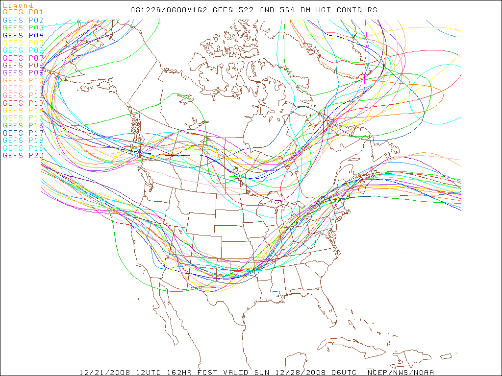
Things start to get interesting heading into Friday. The models depict a lot of mid-level shortwave energy entering the 4 corners region (UT, AZ, CO, NM). A surface low should develop just ahead of this feature and strengthen as it rolls ENE through Texas and Oklahoma. The surface low will continue to deepen as it turns northeast into Missouri and Illinois. But warm, moist unstable air resides in all areas to its south and east. We're talking about 65°-70º dewpoints in late December. A strong 50-60 knot low level jet should also be in place across the lower MS Valley, which should provide good shear for severe wx.
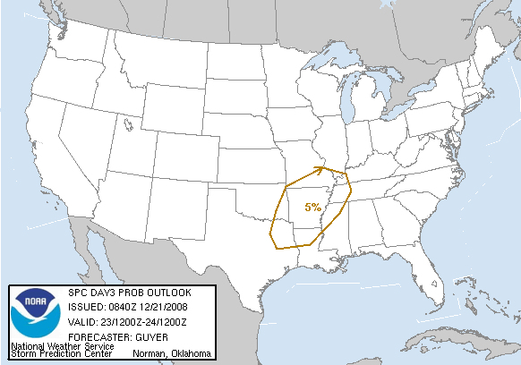
In summary, models indicate a good chance for severe weather of some magnitude heading into next weekend. It is too early to determine exactly where severe weather is most likely, but the Gulf Coast could see its share if the forecast holds. It's nothing to be concerned about right now and is subject to large error this far out.


