Post by thibodauxwx on Jun 12, 2015 7:10:06 GMT -6
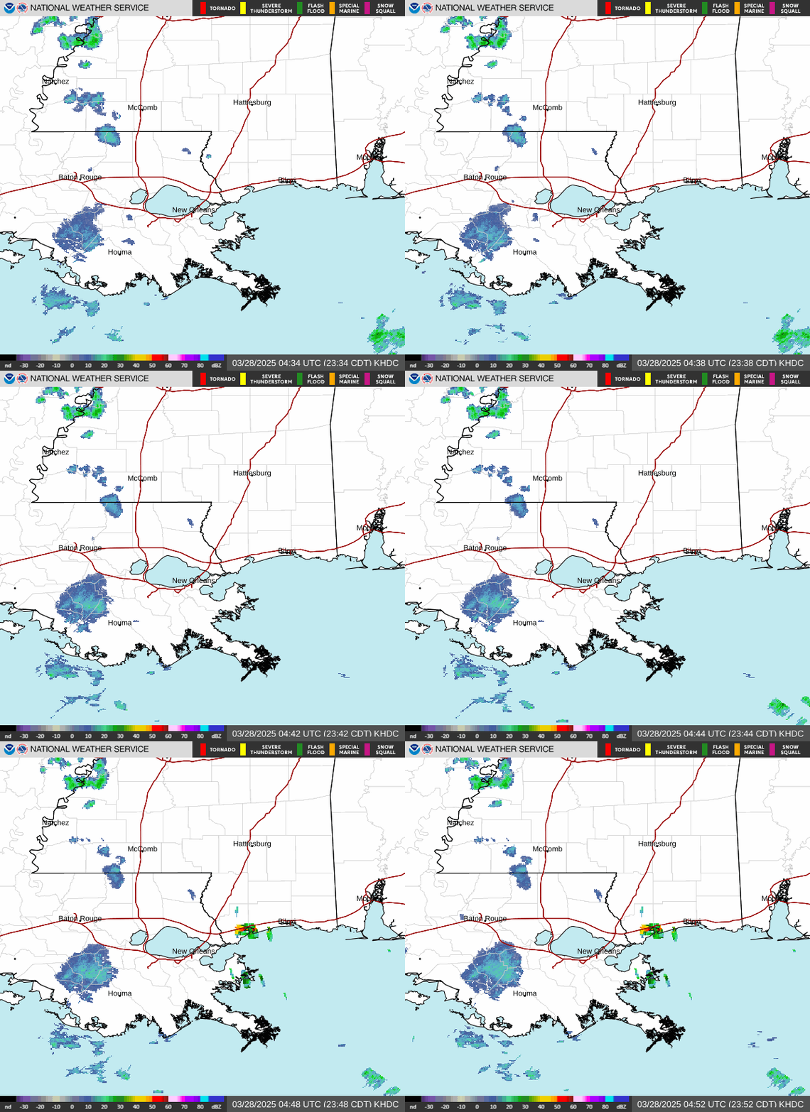
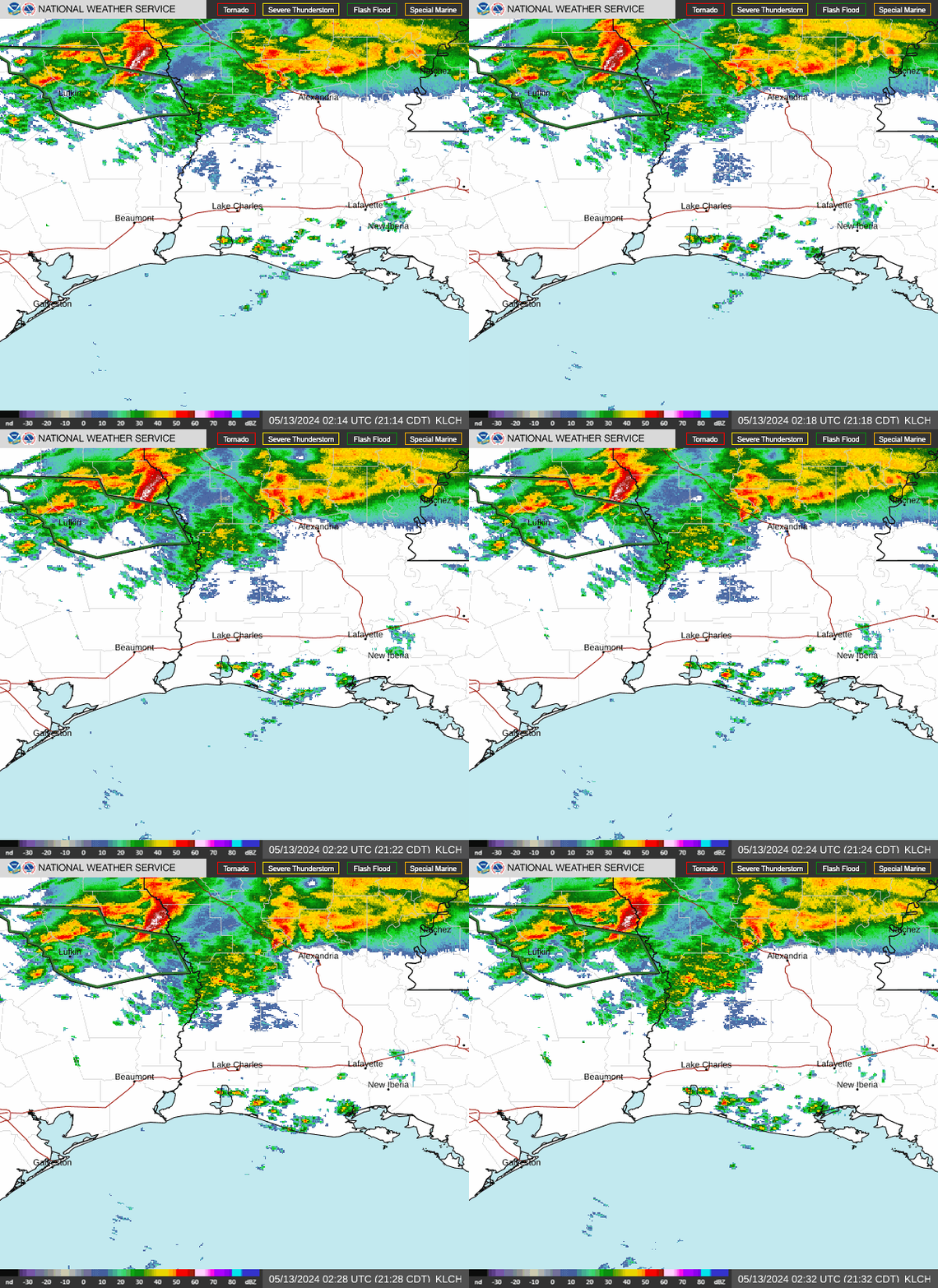
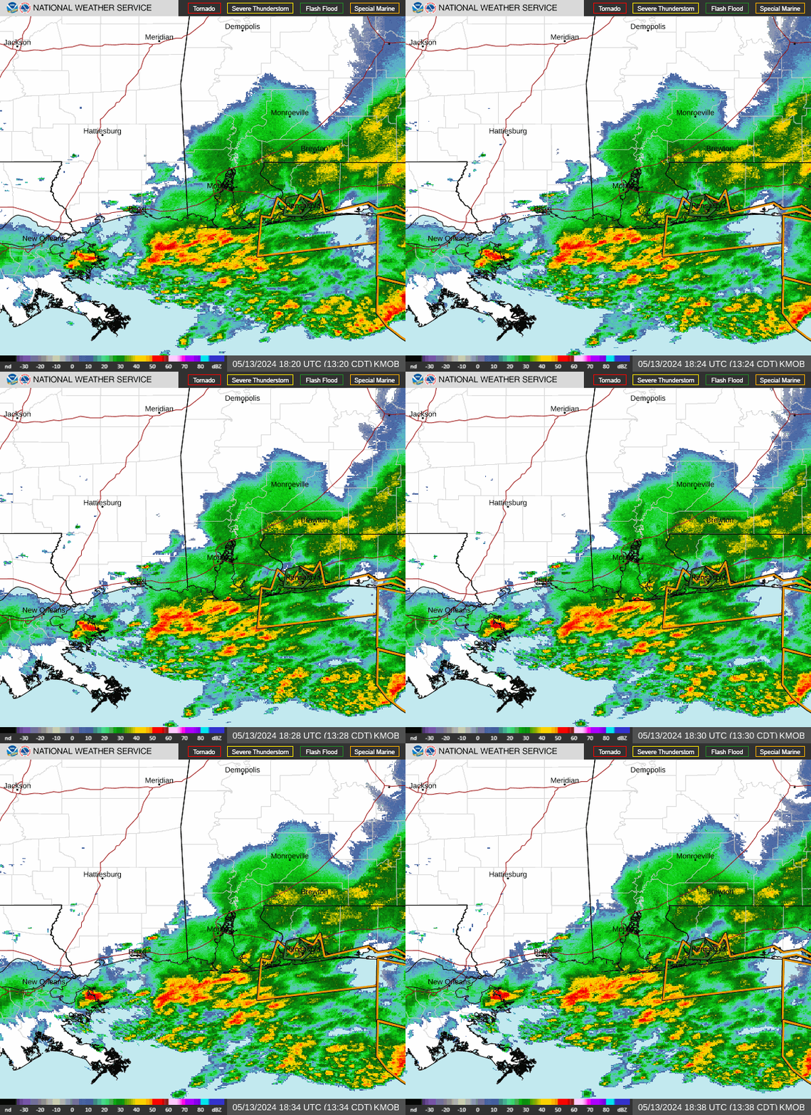
Attachment Deletedwell, we had 4.10 yesterday in the Thibodaux area, with no warning, I don't understand how the NWS didn't put out a warning, anyway, I was reading Larry Cosgrove's post form about 45 minutes ago, and it is very interesting for our area, I thought I would share with our members:
From Larry Cosgrove:
Yes, there is one hell of a rain storm coming. And not just in the Houston metro.
Tropical Storm Carlos is helping to pivot a tropical wave over the Bay of Campeche northward. In coming days this impulse will shoot a moisture plume into TX and LA, all the while incorporating a TUTT signature lurking over the eastern Gulf of Mexico. This flow of very high dewpoints will set up chances for both diurnal and nocturnal convection. One banding will take shape along the Gulf shoreline, roughly along and south of Interstate 10 from about Sealy TX to Baton Rouge LA. Another area of thunderstorms will fire in a band form the TX Panhandle into N OK and then on into AR and MO. The best tornado chances are in the northern grouping, but the convective array closer to the coast may support waterspouts and quick spin-up twisters too.
I want to emphasize that this will be a long-lived event. You may have noticed the ongoing sequence of storms ejecting from China and Japan (boosted by the monsoonal fetch off of the Bay of Bengal). If the tropical forcing over the western equatorial Pacific Ocean (Madden-Julian Oscillation Phase 6) adds any energy to that stream, there will be perhaps three or four shortwaves and frontal structures that track across the northern half of the U.S. between now and June 27. The weakness across TX and the lower Great Plains will start to dissipate in the last week of June, likely ending heavy rain and thunder threats in the areas below the Kansas/Oklahoma border. But those living above 40 N Latitude (Rocky Mountains to the Mid-Atlantic and New England) will continue to be visited by either deluges of rain or intense thunderstorms.
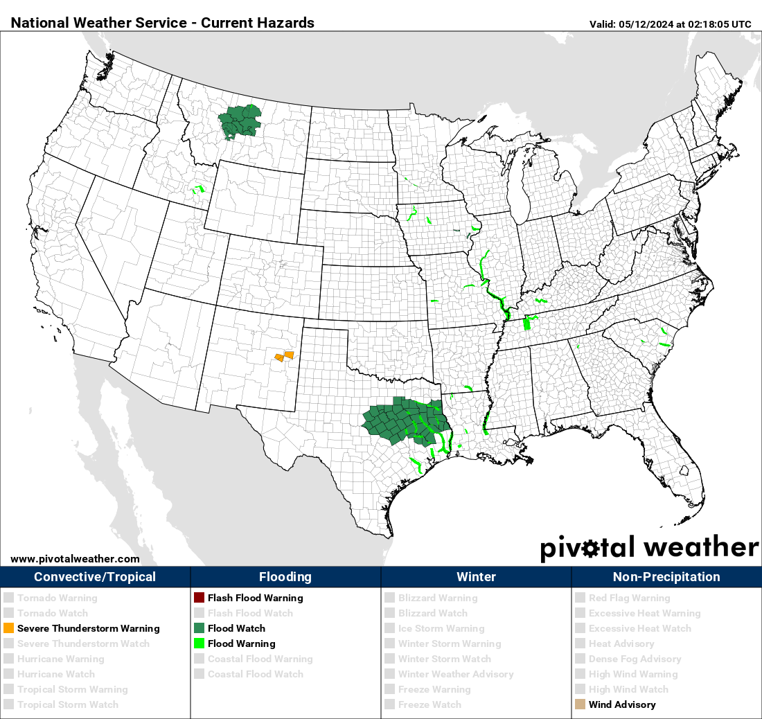
Bottom line: try to stay dry, and listen to flood advisories.
And yes, those rainfall totals forecast stand a decent chance of verifying.


