Hermine Discussion Thread
Aug 28, 2016 4:54:51 GMT -6
ndg, HarahanTim-Now in Gallatin, TN, and 2 more like this
Post by trethe on Aug 28, 2016 4:54:51 GMT -6
National Weather Service New Orleans LA
454 AM CDT SUN AUG 28 2016
.LONG TERM...
Welcome to another edition of as 99L turns.
Once again, the most likely outcome at this point remains as it
was at this time yesterday for our area. High pressure will build
in across the region and remain in place for most of the rest of
the work week. This will lower precipitation chances to 20 percent
or less across the area beginning on Wednesday and in turn cause
temperatures to rise into the mid 90s in most places. With the
increase in temperatures and the lack of convection in the area,
heat advisories may be needed later in the week. I did opt to
back off a touch on the high temperatures and up a touch with
precipitation chances with the uncertainly about 99L but
temperatures are still forecast to be in the mid 90s.
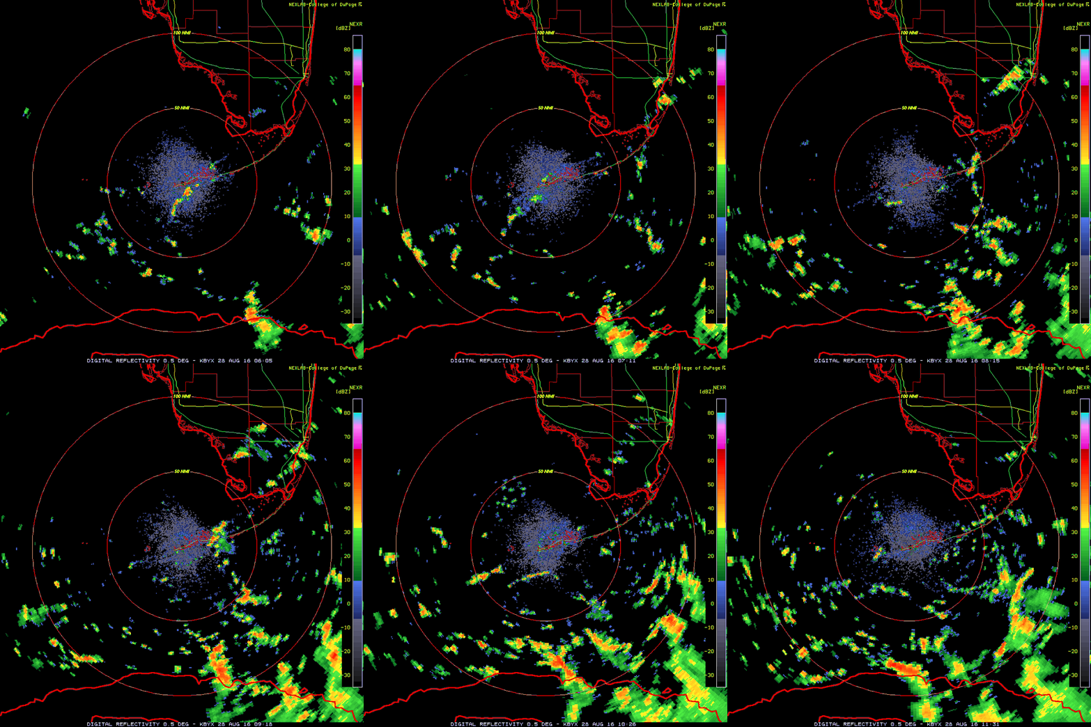
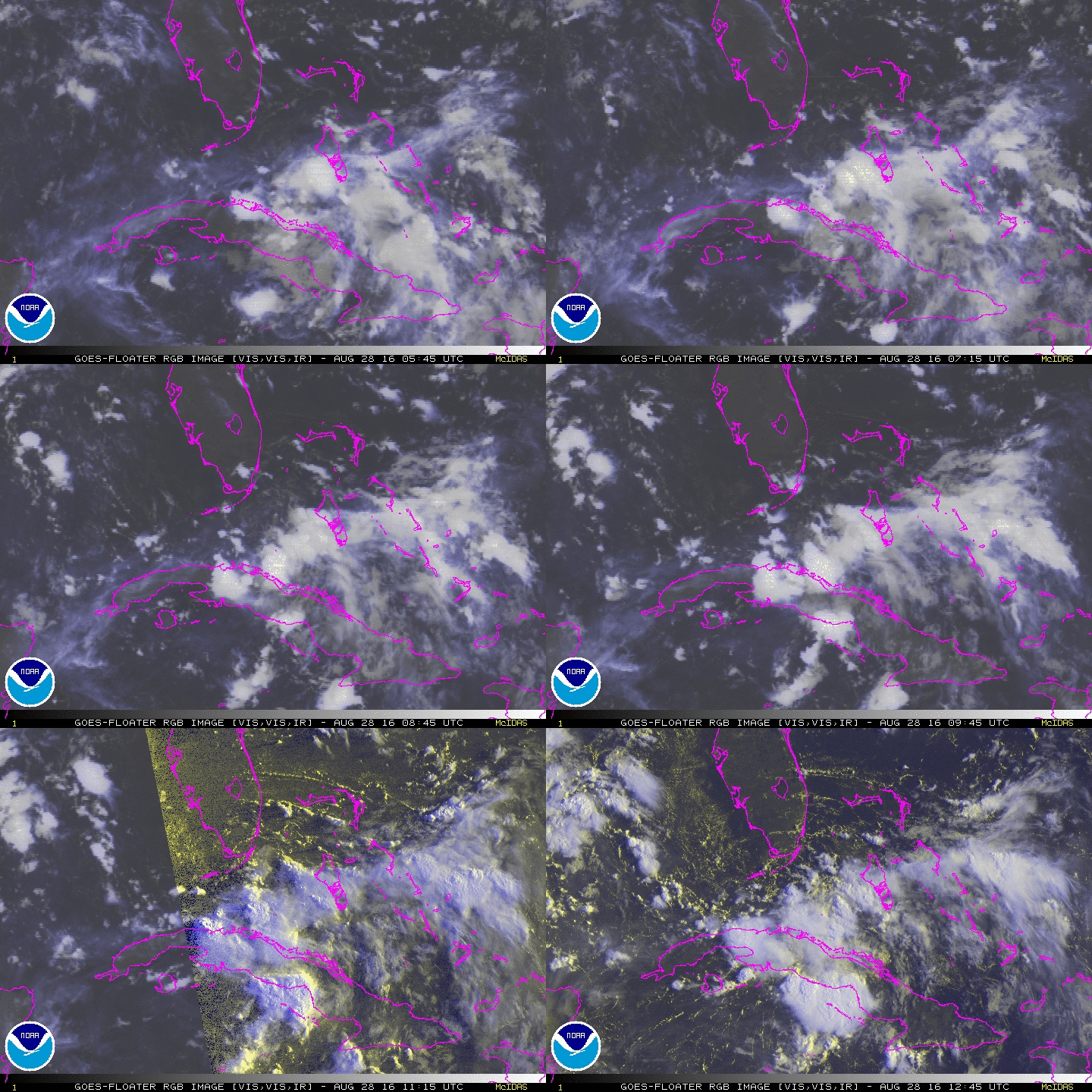
The National Hurricane Center has increased the chances of
development on 99L to 40 percent over the next 48 hours and 60
percent over the next five days. The system is still looking
ragged (and that is being kind) and suffering the effects of
unfavorable upper level winds as well as interaction with Cuba.
That said, the system should be entering a somewhat more favorable
area for some development as it moves through the Florida Straits
today and into the eastern Gulf of Mexico. The biggest development
tonight is probably in that there is once again model support for
99L to develop into a tropical cyclone and possibly impact some
portion of the Gulf Coast. The GFS, ECMWF, NAM and Canadian models
all develop 99L at this point but send it east of the area as a
trough dives down along the east coast and allows for a weakness
in the Atlantic ridge. Should this scenario play out, there would
be some uneasy moments waiting for the system to turn to the north
and east as it could get rather close for comfort. At this time
though, that is simply one of many possibilities.
As has been the case from the beginning of this, it is late August
and the tropics should be being watched closely for any
development. However, and most importantly; everyone should be
working on their normal yearly preparedness plan in the event
that something warrants action...whether that be sooner or later.


