Severe Weather Threat - 1/18-1/23
Jan 12, 2017 18:59:28 GMT -6
Briella - Houma and huskiesdelabasin like this
Post by bayou on Jan 12, 2017 18:59:28 GMT -6
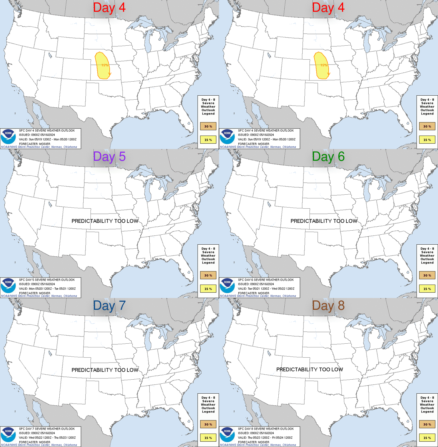
From the day 4-8 outlook from Tues SPC:
"By Tuesday/D6, another shortwave trough is forecast to move across
northern Mexico and the southern Plains. This feature currently
appears too unpredictable for any additional severe areas, but
whatever boundary is left behind over TX/AR/LA by the D5 system may
eventually serve as another focus for severe on D6 and D7 farther
east along the Gulf Coast."
From NWS, New Orleans:
"Conditions will further destabilize on Tuesday when a vort max ejects from the base of the approaching trough and passes thromax the forecast area. The forecast calls for scattered showers max thunderstorms through the day, and surface based CAPE should increase to around 1000 J/kg. With any capping basically gone, expect to see a few deeper convective cells develop and the threat of isolated strong to possibly severe thunderstorms increase
substantially by Tuesday afternoon.
By Wednesday and Wednesday night, the parent upper level trough axis is expected to slide through the forecast area. Both the Euro and the GFS indicate that the trough could take on a negative tilt as a strong jet streak wraps around the trough axis. This pattern is highly supportive of strong to severe thunderstorm activity, and have included the mention of numerous showers and thunderstorms in the forecast to reflect this risk. The prospect of severe weather for the middle of next week will need to be
monitored through the weekend. By Thursday, all of the model guidance agrees that a surge of drier and more stable air will quickly advect in leading to clearing skies and low rain chances.


