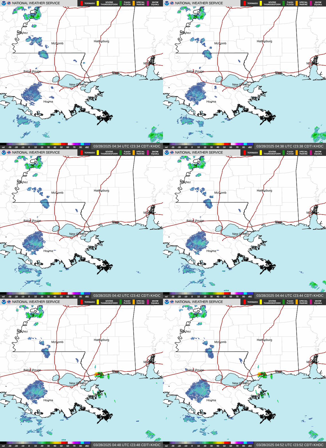
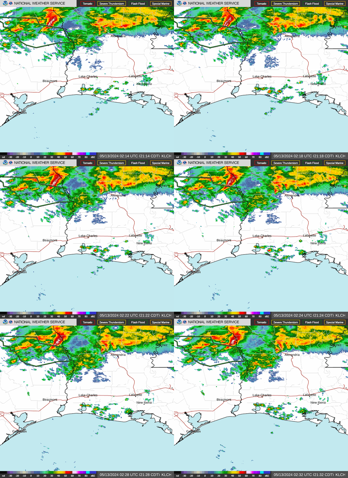
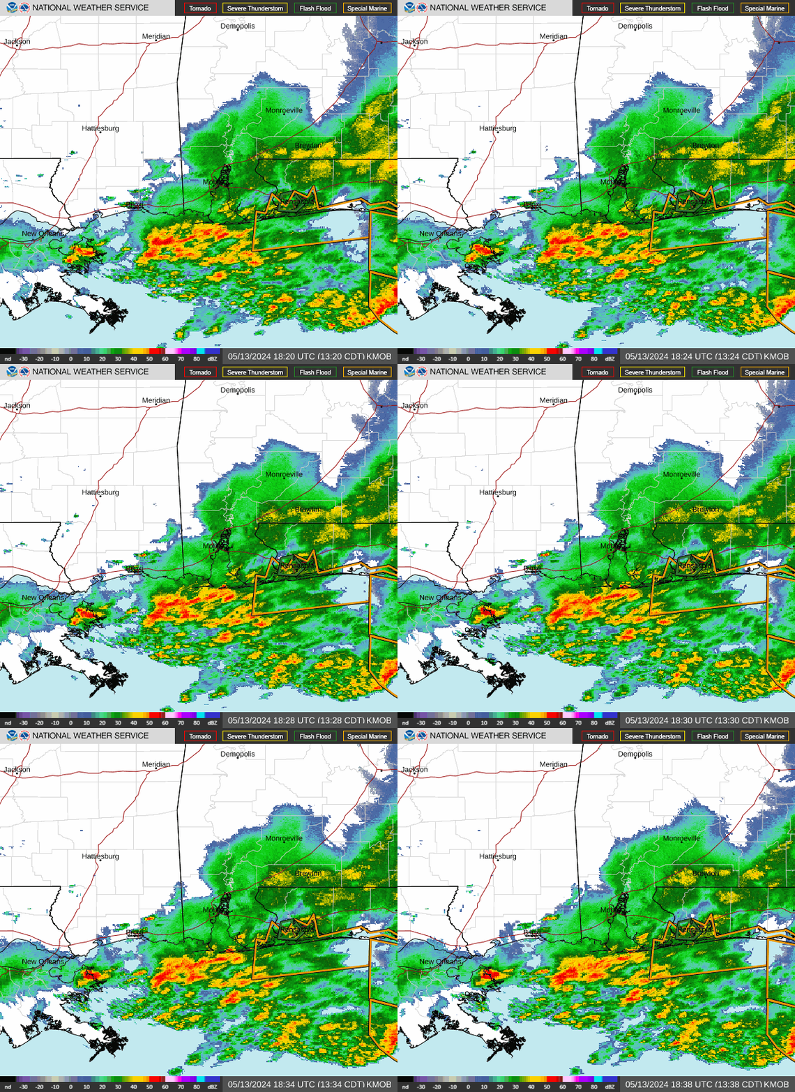
That Killian tornado is the same that skirted the southern most area of Ponchatoula, causing damage along Esterbrook Drive, and then over to Guste Island. It's the same tornado that you saw in pics of it roping out on the west side of Madisonville (the one with the Madisonville Bridge in the pic) and is also the same tornado that you saw in pics from Hwy 190 at the Fairway Drive exit in Mandeville.
I'm so impressed with this outbreak...not only was it a major outbreak for southeast Louisiana, but with this outbreak, we had long trackers, multi vortex tornadoes, and the strongest tornado to ever hit Orleans Parish.
The Livingston, Orleans and Killian tornadoes were all multi vortex tornadoes.
Hammond, LA NWS COOP ID: 16-7425-08 CoCoRaHs ID: LA-TG-23
Here's the preliminary overview on this tornado outbreak:
EF-0 (one) EF-1 (two) EF-2 (one) EF-3 (two)
Injuries: 39 (5 or 6 serious) Fatalities: 0
Public Information Statement National Weather Service New Orleans LA 904 AM CST Fri Feb 10 2017
...Multiple Tornadoes Confirmed on 02/07/2017...
.Overview...On Tuesday February 7, several supercell thunderstorms affected Southeast Louisiana and a total of 6 tornadoes have now been confirmed. This information is considered preliminary and may be subject to additional updates and corrections.
Update #1 - Added survey summary for the New Orleans East tornado and corrected street names in the summary for the Killian to Madisonville tornado. Also corrected times to read CST instead of CDT.
Update #2 - Added more details to Donaldsonville tornado and corrected begin time for Metairie tornado.
&&
...Tornado #1 - From Near Killian to Southwest of Madisonville through Livingston...Tangipahoa...and St Tammany Parishes...
Start Date: Feb 7 2017 Start Time: 1020 AM CST Start Lat/Lon: 30.313N / -90.587W End Lat/Lon: 30.397N / -90.211W
...Survey Summary... The tornado touched down just off Carthage Bluff Rd where some siding was removed from a single family home and small branches were taken off of trees. The width of the tornado in the area was approximately 75 yards wide, and wind speeds were estimated to be around 80 mph. The tornado then proceeded just north of Carthage Bluff Rd. in a ENE direction, and widened to approximately 150 yards wide. Numerous hardwood trees were snapped and uprooted falling on a home, shed, and several vehicles. Wind speeds were estimated to be around 100 mph in this area. The tornado then widened considerably as it approached a bend in Carthage Bluff Rd around the intersection with Carthage Lane. A single wide mobile home lost a significant portion of the roof on Carthage Bluff Lane, numerous soft and hardwood trees were snapped or uprooted, and a single family home had the chimney collapse and some roofing material removed. The tornado had widened to approximately 350 yards wide at this point. Damage was consistent with a 100 mph EF-1 tornado in this area. The tornado then crossed a large field where several trees were snapped and uprooted. The tornado maintained the same width and intensity as it crossed the field.
As the tornado approached a farmstead on Davidson Road, it maintained width, but increased in intensity to an EF-2 tornado with winds of around 115 mph as it destroyed three barns. A single family home stick built single family home was lifted off of an unsecured cinder block foundation and completely destroyed on Davidson Rd. Two people were seriously injured at this spot. Due to the house not being secured to the foundation, the winds were estimated to be around 120 mph in this location. A snapped telephone pole also supports this wind speed in this area. The tornado then crossed Davidson Rd. producing minor to moderate damage to a manufactured home and a single family home on a private lane. Numerous trees were also snapped and uprooted. The tornado remained at 350 yards wide in this area, and maintained EF-2 intensity with winds of around 120 mph. At this point, the tornado moved into a marshy wildlife refuge area with no road access. However, video of the large wedge tornado was taken as it moved across this marshland and then across Interstate 55 around mile marker 19. Due to the lack of access, an intensity rating cannot be given to the tornado as it moved through the marsh land, but an intensity of EF-1 with winds of 105 mph was given to the tornado as it moved across Interstate 55 and numerous trees were snapped and uprooted in this area. The tornado width had also increased to 500 yards at this point.
The tornado then continued in a ENE direction across more open marsh land until it reached the Guste Island area of St. Tammany Parish and the Madisonville on the Lake Subdivision. The tornado had contracted back to a width of 350 yards in this area and maintained this width as it moved across both Chenier Rd. and Grand Port Louis Rd. The tornado produced EF-2 damage on Chenier Rd. where a house that was secured to concrete and rebar piers was moved off the foundation. Extensive roof damage was also noted to the house. Winds were estimated to be around 125 mph in this location. The tornado produced extensive tree damage on Grand Port Louis Rd. before dissipating just west of the city of Madisonville over open marsh.
&&
...Tornado #2 - Near Metairie in Jefferson Parish Louisiana...
Start Date: Feb 7 2017 Start Time: 1051 AM CST Start Lat/Lon: 29.961N / -90.178W End Lat/Lon: 29.965N / -90.163W
...Survey Summary... Tornado began near Elmwood and led to intermittent large tree limb and minor roof damage along a one mile path into the Old Jefferson area of Metairie.
&&
...Tornado #3 - East New Orleans in Orleans Parish Louisiana...
Start Date: Feb 7 2017 Start Time: 1112 AM CST Start Lat/Lon: 30.011N / -90.000N End Time: 1132 AM CST End Lat/Lon: 30.030W / -89.835N
...Survey Summary... The tornado touched down along Old Gentilly Rd about 1.5 miles east of the Industrial Canal. It moved northeast, quickly strengthening into an EF-2 tornado by the time it reached Chef Hwy. Here it snapped several wooden power poles and caused significant roof damage to an apartment complex and another building similar to an automobile service building. As it moved farther northeast, the damage clearly indicates it became multi- vortex with a second strong vortex taking over as the primary circulation to the north of the first.
This second vortex began moving northeast near the intersection of Flake Street and Grant Avenue. On Arthur Drive and Charlene Drive, two homes were severely damaged with most exterior walls and one or two interior walls collapsed. Winds are estimated to have been around 140 mph in this area. At this point the tornado turned more to the east producing a fairly wide swath of solid EF-2 damage with numerous homes losing significant portions or all of their roofing structure.
The worst damage was in the area along and just north of Grant Ave from Charlmark Drive to Read Blvd. In this area, nearly every home suffered complete loss of the roof structure and several homes suffered collapsed exterior walls. There were 3 two-story homes on which the entire second floor was destroyed with only a few interior walls remaining. These homes are the basis for the 150 mph maximum wind rating. This area was by far the largest swath of EF- 3 damage with an approximate width of 125 yards and length of 550 yards.
The tornado continued to cause mostly EF-2 damage with a few small patches of lower end EF-3 damage as it move eastward toward Bullard Ave. The small pockets of EF-3 damage were noted near the intersection of Good Drive and Chef Menteur Boulevard where a church lost all but one exterior wall and most interior walls, and immediately along Chef Menteur Boulevard from Wright Road to Major Dr where three steel electrical transmission poles were bent. As the tornado approached Bullard Avenue, a third vortex took over as the primary circulation resulting in an apparent turn to the southeast.
This third vortex appears to have remained the primary circulation for the remainder of the tornado's existence over land. It began to move nearly due eastward as it approached the intersection of Almonaster Avenue and Paris Road, producing primarily EF-0 and EF- 1 damage. One small pocket of EF-2 damage was noted in the vicinity of the NASA Michoud Assembly Center where a metal building suffered buckling of the roof supports and one of the NASA buildings suffered significant roof damage and collapse of both the brick facade and cinder block walls in a few places. The tornado continued eastward until it reached Lake Borgne, at which point the track is terminated. However, the tornado likely continued to be in contact with the water for some time based on radar signatures of very tight rotation, a well defined hook echo, and even a continued debris signature as it carried debris from over land into marine areas.
In total, the tornado caused moderate to severe damage to 638 homes, of which around half will likely be considered total losses. At least 40 businesses also suffered moderate to severe damage.
&&
...Tornado #4 - From Near Donaldsonville to the Sunshine Bridge in Ascension and St James Parishes Louisiana...
Start Date: Feb 7 2017 Start Time: 1104 AM CST Start Lat/Lon: 30.098N / -91.005W End Lat/Lon: 30.105N / -90.903W
...Survey Summary... The tornado track began in Donaldsonville in Ascension Parish damaging roofs to several houses...knocking down power lines and trees and shifting a small house off its pier foundation. Damage was primarily EF 1 through this area. The tornado continue to track east near River Rd damaging a few structures...downing several trees and power lines. Approximately 18 homes were damaged in the Donaldsonville area of Ascension Parish.
The tornado continued into St James Parish and impacting small communities on the west and east bank of the Mississippi near the LA highway 70 bridge over the Mississippi River. Damage was primarily to house roofs being damaged...windows blown out...downed trees and power lines mph. In St James parish 4 homes were classified as heavily damaged or destroyed and 14 with minor to moderate damage.
&&
...Tornado #5 - Near Watson in Livingston Parish Louisiana...
Start Date: Feb 7 2017 Start Time: 1150 AM CST Start Lat/Lon: 30.621N / -90.904W End Lat/Lon: 30.625N / -90.798W
...Survey Summary... The tornado first touched down on Little Woods Dr. and proceeded due east just north of Percy Easterly Road. The tornado was initially a narrow 25 yards wide, but quickly widened to over 100 yards wide as it moved east through a stand of trees. Intensity in this area was EF-1 level with estimated winds of around 100 mph. The tornado then continued to the east and rapidly intensified as it approached some high tension electrical lines running in a north-south direction between Little Woods Dr. and Nan Westerly Rd. The tornado was estimated to be approximately 200 yards wide at this point, and winds were estimated at 140 mph or EF-3 strength due to the metal truss system supporting the electrical lines being twisted and collapsed. As the tornado approached Nan Westerly Rd. it widened considerably to around 350 yards, and also decreased slightly in intensity to a high end EF-2 tornado. Three manufactured homes were completely destroyed with only the metal undergirding remaining. All walls and floors were removed. Two single family homes in this area had significant roof damage with support beams removed. Numerous hardwood trees were also snapped in this area. Winds were estimated to be around 125 mph at this point. The tornado continued eastward across a fairly open field until it impacted several homes and an industrial building on Highway 1023 or Renninger Road. The tornado maintained the same width as it crossed the road at around 350 yards, and produced more EF-2 damage with winds remaining around 125 mph. A manufactured home was completely destroyed, and the industrial building had most of the exterior wall on one side of the building removed. Numerous hardwood trees including a large live oak also had trunks snapped in this area.
The tornado continued to the east, and decreased in intensity to EF-1 with winds of approximately 100 mph as it crossed Highway 447, Joe Lee Road, Highway 63, and Highway 449. Several manufactured homes experienced minor damage on Highway 447 and Joe Lee Road with the worst damage noted on Joe Lee Road where a home had partial uplift of tin roofing material. Numerous softwood trees were also snapped along the path of the tornado. Damage was noted after it crossed into the woods east of Highway 449, but the lack of access prohibited further assessment. Tornadic activity was not observed further to the east on Highway 1036 or Highway 441.
&&
...Tornado # 6 - North of Holden in Livingston Parish Louisiana...
Start Date: Feb 7 2017 Start Time: 1220 PM CST Start Lat/Lon: 30.633N / -90.616W End Lat/Lon: 30.633N / -90.616W
...Storm Summary... A brief tornado touch down was noted near the intersection of Highway 442 and Greer Lane in far northern Livingston Parish. A telephone pole was leaning, and several softwood trees were snapped along Greer Lane. The path width was approximately 50 yards wide, and the intensity was rated EF-1 with winds of 100 mph. The tornado passed over Highway 442, and then proceeded east just south of a manufactured home. More trees were snapped in this area and the tornado maintained EF-1 intensity. However, as the tornado moved further to the east, the intensity weakened to an EF-0 with winds of around 75 mph before dissipating just before entering a wooded area. Large branches were removed from trees in this area, and a carport lost some tin roof covering.
&&
* For reference...the Enhanced Fujita Scale classifies tornadoes into the following categories:
EF0...wind speeds 65 to 85 mph. EF1...wind speeds 86 to 110 mph. EF2...wind speeds 111 to 135 mph. EF3...wind speeds 136 to 165 mph. EF4...wind speeds 166 to 200 mph. EF5...wind speeds greater than 200 mph.
$$
Hammond, LA NWS COOP ID: 16-7425-08 CoCoRaHs ID: LA-TG-23