Post by Briella - Houma on Mar 30, 2017 0:35:59 GMT -6

...Synopsis...
An upper low crossing eastern Kansas early in the period is forecast
to accelerate eastward across Missouri and into the Midwest through
the period -- as a vigorous short-wave over the Pacific Northwest at
the start of the period digs southeastward with time, evolving into
a deepening closed low with time and reaching the Arizona/Utah
border region by the end of the period.
As the eastern upper low is kicked eastward by the digging western
system, short-wave troughing -- within broader cyclonic flow
surrounding the low -- will move quickly eastward out of the
southern Plains and across the Gulf of Mexico and Gulf coastal
states. This will facilitate a rather rapid eastward advance of a
surface cold front across the southeast quarter of the country.
This front -- trailing southward from a parent low moving across the
Ohio Valley states through the afternoon and evening -- should
extend from the southern Appalachians to the Florida Panhandle
vicinity by 31/12z.
...The Midwest south to the Gulf Coast, and the Mississippi Valley
east to the Appalachians...
A very complex weather scenario continues to unfold -- complicated
largely by ongoing showers and locally strong to severe storms now
affecting the middle and lower Mississippi Valley area. Models
suggest that much of this convection will be contained within two
distinct clusters at the start of the period -- one crossing the mid
Mississippi Valley into the lower Ohio Valley area, and a second
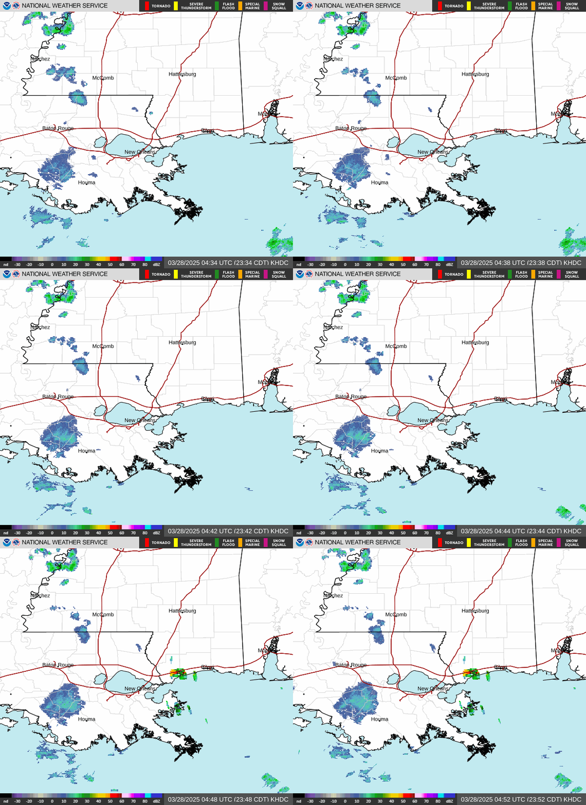
crossing southern and eastern Mississippi/eastern Louisiana. The
Ohio Valley convection is forecast to gradually weaken through the
morning hours, while the southern cluster of convection may persist
-- in a locally severe manner -- across the central Gulf coastal
region.
This convection and associated cloud cover continues to cast
uncertainty with respect to areas of potentially greater insolation
and thus destabilization, but it appears that at least modest
instability will evolve along and ahead of the advancing cold front
-- which should extend southward from a western Illinois surface low
roughly along the Mississippi River around midday. With mixed-layer
CAPE values likely reaching 500 to 1500 J/kg by early afternoon in
the wake of prior convection, new storm development should begin.
Organization of the storms will be augmented by strong lower- and
middle-tropospheric south-southwesterly flow, and though turning
with height will remain limited in most areas, speed shear suggests
both rotating storms and small-scale bowing segments will evolve
with time. Along with potential for hail, damaging winds are
expected, and a few tornadoes will be possible as well --
particularly over the lower Ohio Valley area where a more
southeasterly component to the surface flow should exist ahead of
the low and in the vicinity of the warm front. Convection may
organize into a broken band, spreading eastward across the Ohio and
Tennessee Valleys and central Gulf coastal states through the
afternoon and evening, along with attendant severe potential.
With areas of most concentrated risk difficult to discern, a broad
ENH/level 3 risk area is being included, with slight/level 2 risk
being expanded eastward at this time -- both across the mid Ohio
Valley along the mid-level low track, as well as across the southern
Appalachians region as a rapidly advancing short-wave trough fosters
increasing ascent through the evening and overnight hours.


