Post by SKYSUMMIT on May 3, 2017 13:00:20 GMT -6

Mesoscale Discussion 0640
NWS Storm Prediction Center Norman OK
0158 PM CDT Wed May 03 2017
Areas affected...southeast Texas through southern and central
Louisiana
Concerning...Tornado Watch 190...
Valid 031858Z - 032000Z
The severe weather threat for Tornado Watch 190 continues.
SUMMARY...Overall severe threat across most of the remainder of WW
190 has transitioned to isolated hail and a few strong to damaging
wind gusts. An isolated tornado or two remains possible, mainly from
from the extreme southeast TX coast and east along the LA coast.
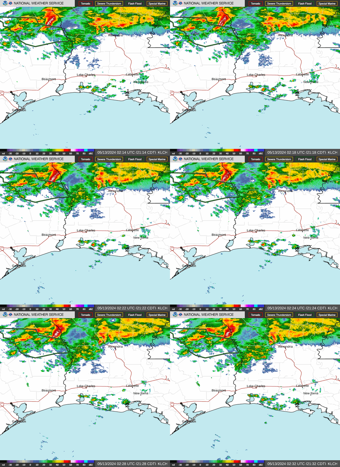
DISCUSSION...Early this afternoon a convective outflow boundary
extends from the LA coast northwest into southeast TX. This boundary
is intersecting a southeast-moving gravity wave over southeast TX
where new storms are developing. South of the outflow boundary,
winds have veered to southwesterly over the southeast TX warm
sector, which is limiting low-level hodograph size. Storms
initiating within zone of enhanced ascent along boundary
intersection near and west of Lufkin TX may intensify as they
develop southeast through the strongly unstable warm sector. Here,
unidirectional wind profiles and vertical shear will strengthen with
time supporting potential for organized severe storms capable of
mainly damaging wind and large hail. Otherwise most storms have
become slightly elevated over southern and central LA to the north
of the outflow boundary where primary threat has transitioned to
isolated hail and damaging wind. A tornado or two remains possible
mainly with any storm that can develop along the modifying outflow
boundary over coastal southeast TX and LA.
..Dial.. 05/03/2017


