Post by jimmycarl on Feb 27, 2023 7:34:53 GMT -6
Someone want to interpret this in English?
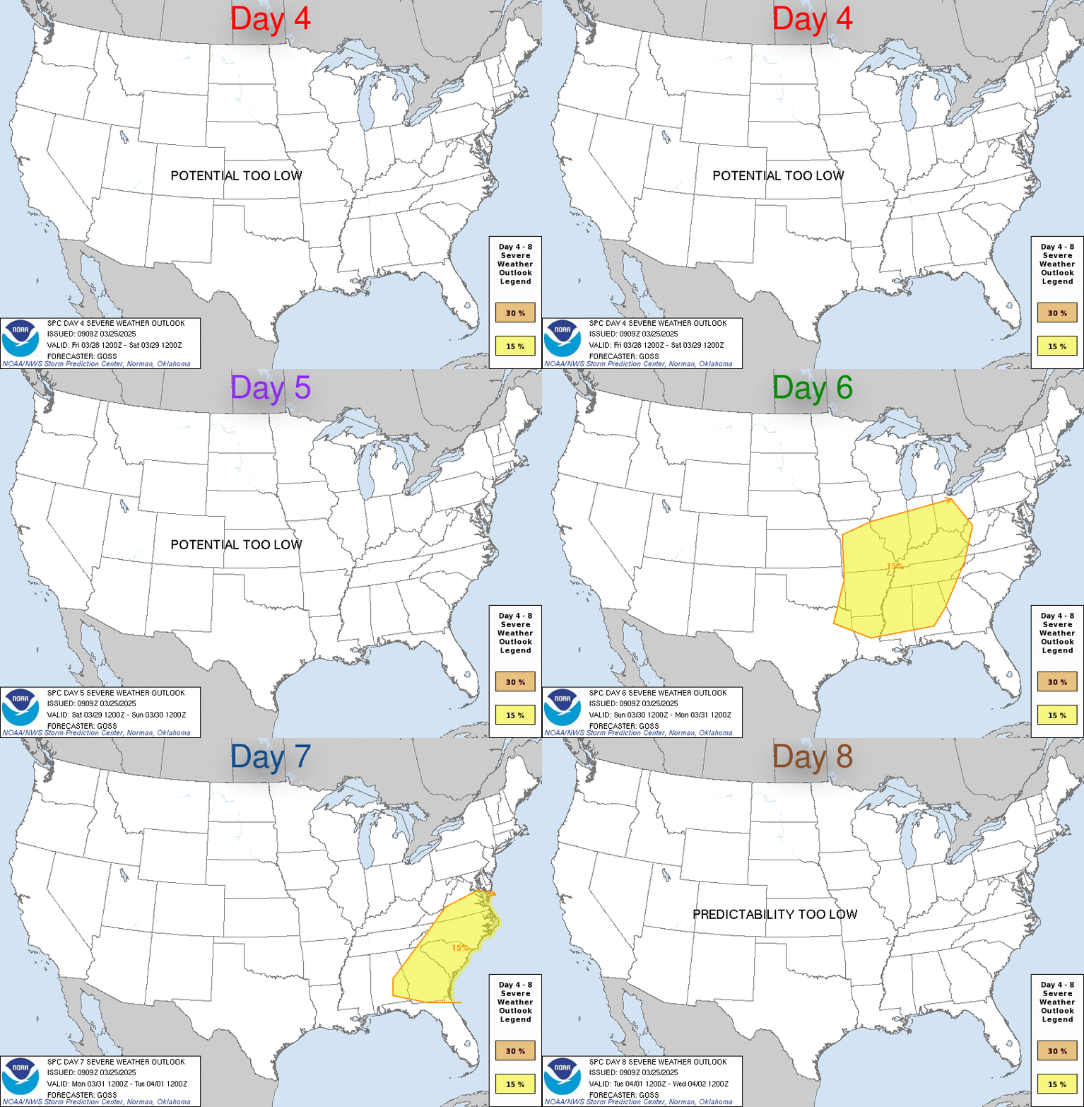
ZCZC SPCSWOD48 ALL
ACUS48 KWNS 270959
SPC AC 270959
Day 4-8 Convective Outlook
NWS Storm Prediction Center Norman OK
0359 AM CST Mon Feb 27 2023
Valid 021200Z - 071200Z
...SEVERE WEATHER OUTBREAK POSSIBLE ON D4/THU...
...DISCUSSION...
...Thursday/Day 4...
A regional outbreak of severe weather appears increasingly likely
Thursday afternoon and Thursday night including the potential for
large hail, damaging winds, and tornadoes, some of which may be
strong. Available guidance is in ample general agreement with the
east/northeastward-ejection of an upper trough from the southern
Rockies early Thursday to the Ozarks/ArkLaTex by late Thursday
night. Owing to a stalling/decaying front early this week,
respectable low-level moisture will exist across much of the Deep
South in advance of this approaching upper-level system and its
related intense deep-layer wind field. Current thinking is that this
severe potential should steadily increase across central/eastern
Texas and possibly southeast Oklahoma during the day. This risk
should only increase/further organize into Thursday evening across
the ArkLaTex/ArkLaMiss and Lower Mississippi Valley, and eventually
the Tennessee Valley late Thursday night.
...Friday/Day 5...
Severe-weather potential is expected to continue to Friday across
the Southeast States including Georgia/north Florida and the
Carolinas, and possibly as far north as parts of the Mid-Atlantic.
This will be as the upper-level trough races northeastward from the
Lower Mississippi Valley toward the Ohio Valley/Mid-Atlantic States.
Very strong deep-layer winds will coincide with a modestly unstable
warm sector ahead of a cold front and/or residual convection from
Thursday night. Damaging winds and a few tornadoes could occur
across the region.
...Saturday/Day 6 through Monday/Day 8...
An inactive few days with limited deep convective/severe potential
is currently expected this weekend into early next week. High
pressure will likely be increasingly established east of the Rockies
as richer low-level moisture is shunted toward the Gulf of Mexico.
..Guyer.. 02/27/2023
