Post by SKYSUMMIT on May 23, 2024 16:03:50 GMT -6

Mesoscale Precipitation Discussion 0309
NWS Weather Prediction Center College Park MD
515 PM EDT Thu May 23 2024
Areas affected...Northern TX Hill Country through the Piney Woods
of LA/AR
Concerning...Heavy rainfall...Flash flooding possible
Valid 232114Z - 240300Z
Summary...Showers and thunderstorms developing in the vicinity of
a shortwave and within extreme thermodynamics will expand through
the evening. Rainfall rates of 1-2"/hr are likely, which in some
areas could produce 2-4" of rain with locally higher amounts.
Flash flooding is possible.
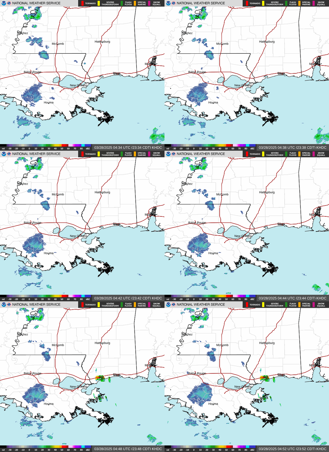
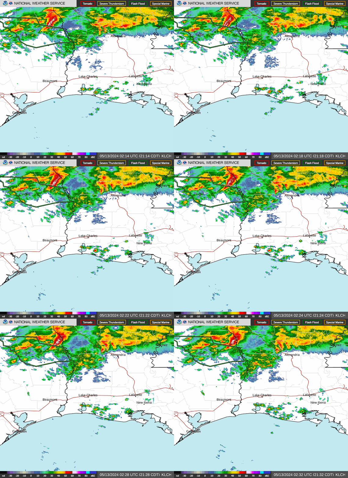
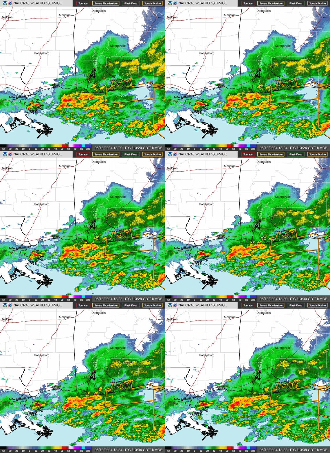
Discussion...The GOES-E IR imagery this afternoon shows small
clusters of rapidly cooling cloud tops south of the Dallas-Fort
Worth metro area associated with strengthening thunderstorms. This
convection is blossoming in response to a modest shortwave
embedded within otherwise SW flow downstream of broad trough
extending from the northern High Plains. Synoptic ascent is
generally modest away from the shortwave, but any lift is
sufficient to produce strong updrafts within the extreme
thermodynamics characterized by PWs of 1.8 to 2 inches and MLCAPE
of 3000-3500 J/kg. A weak outflow boundary analyzed by WPC and
noted on radar is providing additional focus for convection, with
some isentropic upglide also contributing ascent as the 25kt LLJ
from the south impinges into the OFB as it lifts northward.
The high-res CAMs are struggling this aftn, so confidence in
evolution is somewhat limited. The HRRR and NAMNest appear to be
initializing current activity the best, but continue to squelch
convection in the next few hours, while the ARWs are too robust
with the present reflectivity, but continue to expand and
intensify activity. Something in the middle is probably most
realistic, especially as 850-700mb moisture flux surges to as high
as +4 sigma combined with still intense MLCAPE. This suggests that
storms should continue into the evening, and are unlikely to fall
apart as suggested by the HRRR/NAMnest, and the HREF probabilities
may be realistic as a blend approach despite the disagreement in
individual CAMS. This suggests that thunderstorms will continue to
develop and ride northward along the slowly increasing LLJ,
organizing through bulk shear of 40-50 kts, and then expanding to
the northeast on 0-6km mean winds of 20-30 kts. While individual
storms may be progressive, organized clusters may repeatedly move
across the same areas with 1-2"/hr rain rates, producing rainfall
of 2-4" with locally higher amounts as shown by HREF probabilities
for 3"/6hrs and 5"/6hrs reaching 25% and 10%, respectively.
Some of this area has been exceptionally wet recently noted by
7-day rainfall departures that are more than 300% of normal
according to AHPS. This has compromised FFG to below 1.5"/3hrs in
some areas which has a 15-25% of exceedance. Where storms organize
and train, or if the most intense rates move across any urban
areas, instances of flash flooding are possible.
Weiss


 Geez! I was hoping to secure the fairy garden 🤣


