Post by SKYSUMMIT on Apr 25, 2019 11:51:44 GMT -6

Mesoscale Precipitation Discussion 0163
NWS Weather Prediction Center College Park MD
130 PM EDT Thu Apr 25 2019
Areas affected...Eastern LA...southern MS
Concerning...Heavy rainfall...Flash flooding possible
Valid 251730Z - 252130Z
Summary...Another line of convection tracking over areas that
received heavy rainfall this morning could pose a flash flood
threat through the afternoon hours.
Discussion...The GOES-16 clean IR loop showed that the deepest
convection (with tops near -62 C) has moved over southern MS early
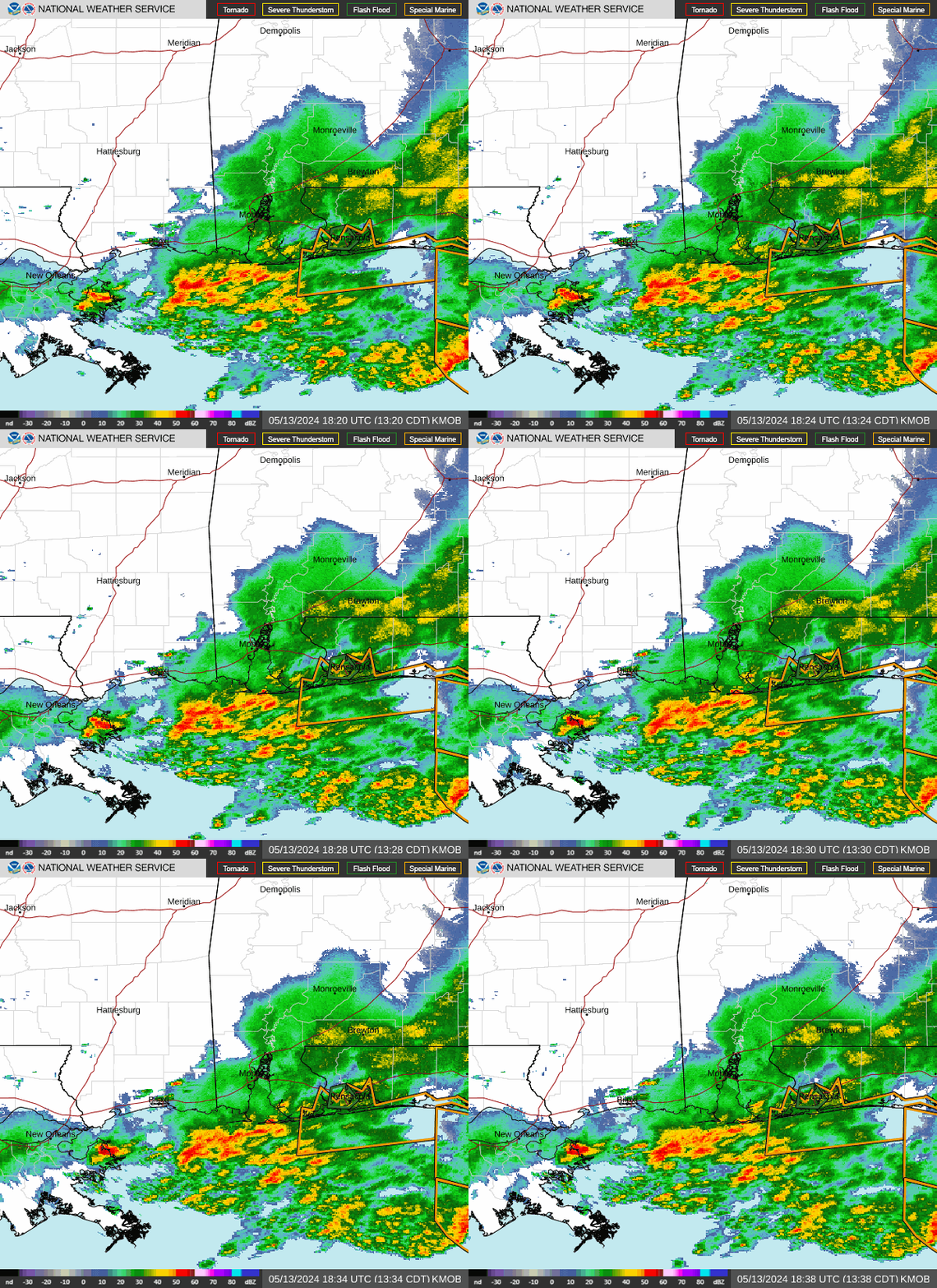
this afternoon. The KLIX radar showed hourly rainfall rates near
1.75 inches over Hancock county in MS, associated with a line
segment on the southern end of a larger convective line stretching
into northwest AL. Much of the line remains progressive, as shown
by propagation vectors from the most recent RAP.
The KLIX radar also indicated a stripe of 3.00/4.00 inches of
rainfall extending from Assumption and St Charles Parishes into
far southwest MS. The GOES-16 clean IR loop also showed cooling
tops over far south central LA, in conjunction with a line of
strengthening convection over this area, extending out into the
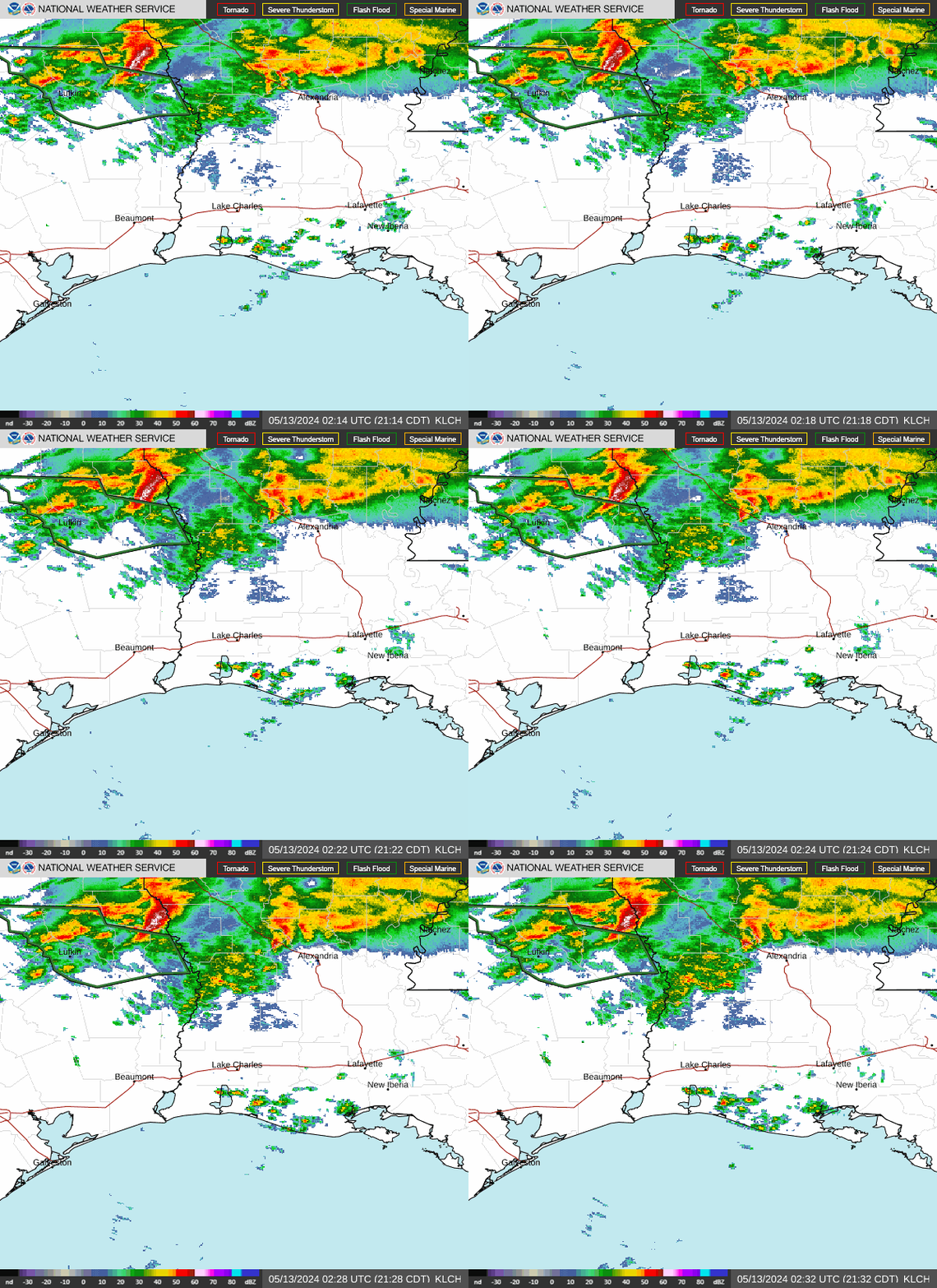
Gulf of Mexico. Within this line, the KLCH radar showed hourly
rainfall rates near 1.50 inches just off the south central LA.
The RAP propagation vectors indicate that this line too will
remain progressive, with some potential for short term training or
cell mergers. However, the additional rainfall from the second
line of convection could fall over areas of eastern LA and far
southwest MS that received the earlier heavy rainfall. There is a
fairly strong high resolution model signal for 2.00/4.00 inches,
mainly across far southeast LA into far southern MS and far
southwest AL. The placement is where the best low level frictional
convergence is expected, though amounts from the most recent HRRR
could be overdone.
Three hour flash flood guidance values are generally fairly high,
outside of areas that received earlier heavy rainfall. The threat
for flash flooding is greatest where training over these areas
occurs. Otherwise, the progressive nature of the convection could
mitigate the flash flood threat to some degree.
Hayes


