Post by SKYSUMMIT on Sept 23, 2020 10:46:12 GMT -6

Mesoscale Precipitation Discussion 0787
NWS Weather Prediction Center College Park MD
1120 AM EDT Wed Sep 23 2020
Areas affected...Central Louisiana
Concerning...Heavy rainfall...Flash flooding likely
Valid 231519Z - 232030Z
Summary...Thunderstorms developing near the center of Post
Tropical Cyclone Beta are expanding across Louisiana. Rainfall
rates are likely to intensify through the afternoon as instability
begins to climb. Additional rainfall of 2-4" with isolated amounts
to 6" is possible. Flash flooding is likely.
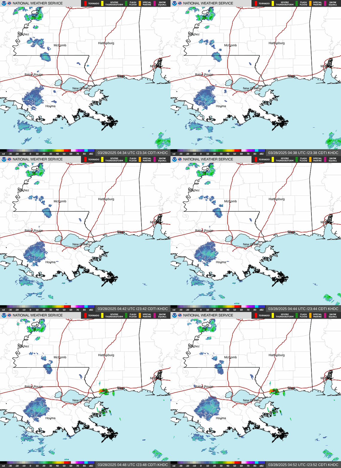
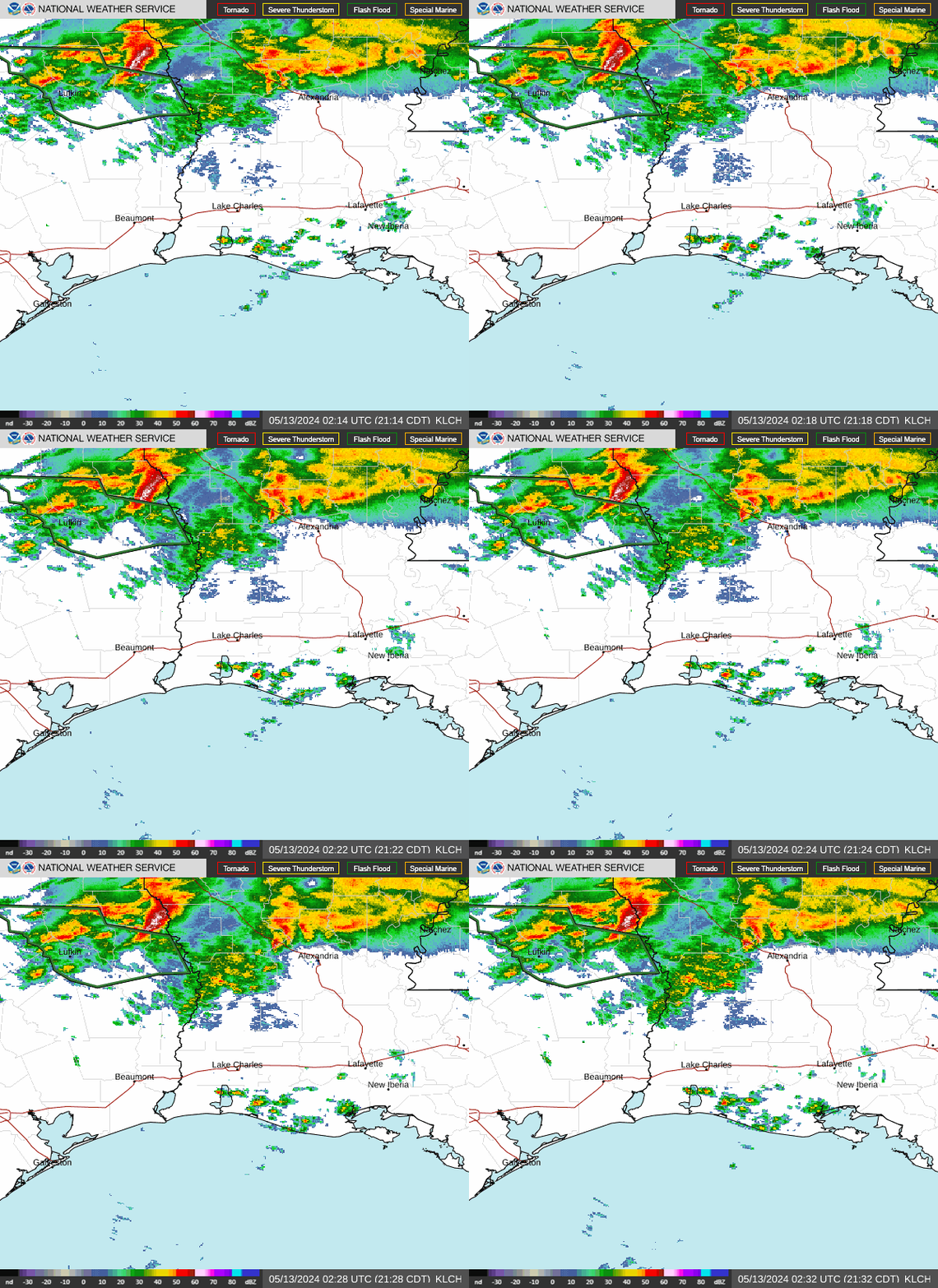
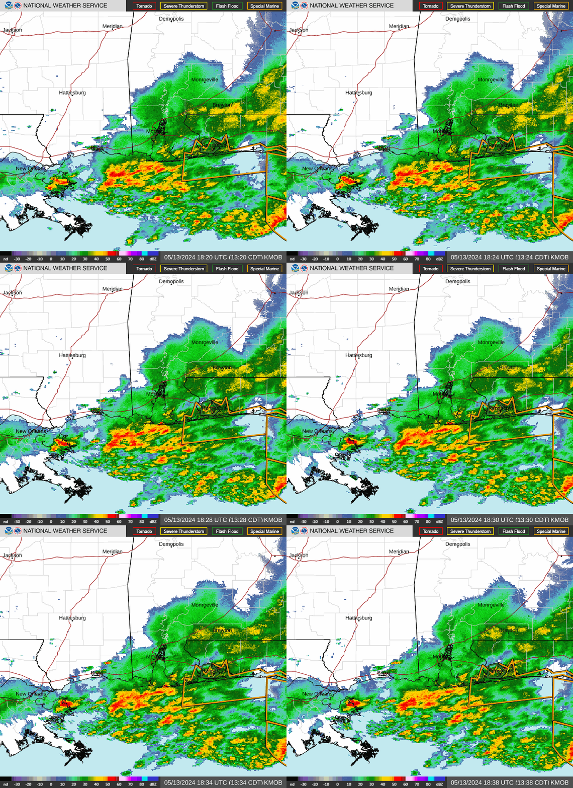
Discussion...Recent regional radar mosaic shows an expanding area
of reflectivity above 40dBZ spiraling into the center of Post T.C.
Beta. This intensifying convection is also noted by cooling cloud
tops on GOES-E IR imagery, with recent cloud top temperatures
falling below -50C. At the surface, Beta was analyzed moving
slowly NE near the TX/LA border, while a stationary front was
extending from the center eastward and southeastward through the
Atchafalaya Bay and into the Gulf of Mexico.
The environment around Beta remains extremely favorable for heavy
rainfall. GPS observations measured PWs of 2.25-2.5" across much
of LA, well above the 90th percentile for the date according to
the SPC sounding climatology. Additionally, SBCape south of the
front was analyzed by the RAP to exceed 1500 J/kg along the
immediate LA coast, with a surge to 500 J/kg extending northward
towards central LA. 850mb inflow was observed by local VWPs to be
20-25 kts out of the Gulf of Mexico, which is transporting
moisture and instability northward. The combination of this
low-level flow and increasing upper divergence within the RRQ of a
modest 60kt upper jet streak will drive the stationary front
northward during the aftn ahead of Beta.
The extremely favorable thermodynamics will persist into the
evening, allowing for heavy rainfall to continue. CAMs are in very
good agreement, minus the ARW2, that a narrow corridor of
torrential rainfall will develop across parts of central LA
including the northern Atchafalaya Basin and southern Hill
Parishes. The low-level jet impinging upon the slowly moving
stationary front will drive locally intense isentropic ascent, and
it is along this boundary where the heaviest rainfall is likely.
The CAMs indicate a sharp north-to-south cutoff in rainfall,
indicative of the intense ascent atop the tight instability
gradient. Rainfall probabilities from the recent HREF exhibit
increasing chances for 2"/hr rates, and a high likelihood for a
region of more than 3" of rainfall. This agrees with most of the
high res guidance, and a few locations may receive 6" of rainfall
by this evening. NWM 40cm soil saturation is greater than 85%, and
3-hr FFG is as low as 1"/3hrs in a few locations across western
LA, with more widespread 2-3"/3hrs. Repeated rounds of heavy rain
rates along the stationary boundary atop these preconditioned
soils will likely lead to flash flooding.
Weiss


