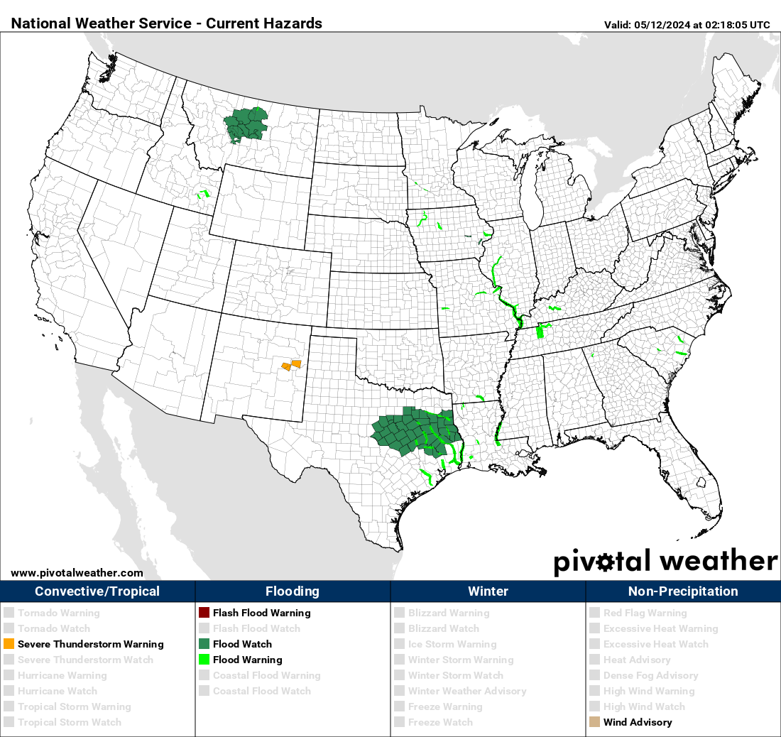
Post by HarahanTim-Now in Gallatin, TN on Nov 27, 2020 6:39:29 GMT -6

SPC AC 270547
Day 1 Convective Outlook
NWS Storm Prediction Center Norman OK
1147 PM CST Thu Nov 26 2020
Valid 271200Z - 281200Z
...THERE IS A MARGINAL RISK OF SEVERE THUNDERSTORMS FROM SOUTH TEXAS
EAST-NORTHEASTWARD TO SOUTHERN MISSISSIPPI...
...SUMMARY...
A couple of severe thunderstorms may affect areas from South Texas
east-northeast to southern Mississippi Friday, with marginal hail
and gusty winds the main threats with these storms.
...Synopsis...
A northern-stream trough over central Canada and the adjacent
north-central U.S. is forecast to move quickly eastward, while just
south of the main belt of westerlies, a closed low will move more
slowly eastward across Arizona and, later, New Mexico.
Southeast of this low, a belt of moderately strong
west-southwesterly flow will persist from northern Mexico across
southeast Texas and into the Southeast. Within this flow field,
several weak perturbations will progress across the southeastern
quarter of the country and the adjacent Gulf of Mexico.
At the surface, a weak baroclinic zone will linger across the Gulf
Coast states through the day, though a southward surge will occur
across Texas as high pressure strengthens over the central Plains.
This baroclinic zone will loosely focus a persistent zone of showers
and storms through the period.
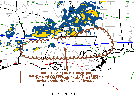
...South Texas east-northeastward to southern Mississippi...
Showers and thunderstorms -- likely ongoing across portions of
southern and eastern Texas and into Louisiana at the start of the
period -- are expected to evolve/increase in coverage through the
day, generally in an elevated sense near and north of the surface
baroclinic zone stretching across the area. Modest CAPE will
support the convective activity, but will largely remain
insufficient for particularly robust storms.
Still, with rather strong mid-level west-southwesterlies (40 to 60
kt) atop the region, cloud-layer shear could support some
organization/longevity of convection locally. Marginally severe
hail is possible -- particularly with any updraft which could
acquire transient rotation. Otherwise, locally gusty/perhaps
damaging winds would be possible, mainly with a stronger storm or
two in close proximity to the surface boundary.
Though convection will likely continue, gradually spreading
southeastward, through the second half of the period, severe threat
should diminish in most areas after dark, as the front shifts into
the Gulf, with the possible exception of the Texas portion of the
risk area.
..Goss/Moore.. 11/27/2020


