Post by SKYSUMMIT on Apr 13, 2022 17:36:54 GMT -6

Mesoscale Precipitation Discussion 0115
NWS Weather Prediction Center College Park MD
651 PM EDT Wed Apr 13 2022
Areas affected...central Louisiana northeastward to
central/northern Mississippi
Concerning...Heavy rainfall...Flash flooding possible
Valid 132247Z - 140447Z
Summary...Storms across the warm sector are posing a flash flood
risk as rain rates are increasing dramatically - especially across
central Louisiana. The threat should persist through 04Z or so
while spreading eastward/southeastward across the discussion area.
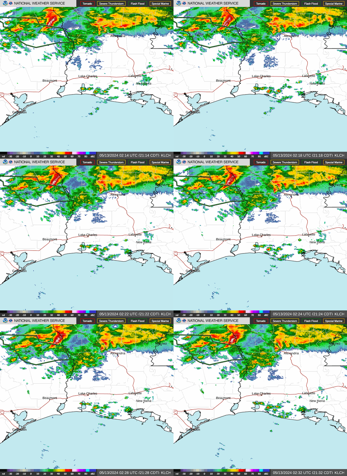
Discussion...Convection across central Louisiana (from near POE to
near MLU) was beginning to merge and grow upscale into a linear
complex over the past hour or so. The storms are located just
ahead of a synoptic-scale cold front over east Texas. The nature
of the storms (localized mergers, slow eastward progress, and high
efficienty) recently resulted in an increase in rain rates into
the 1-2.5 inch/hr range especially near POE. Additional warm
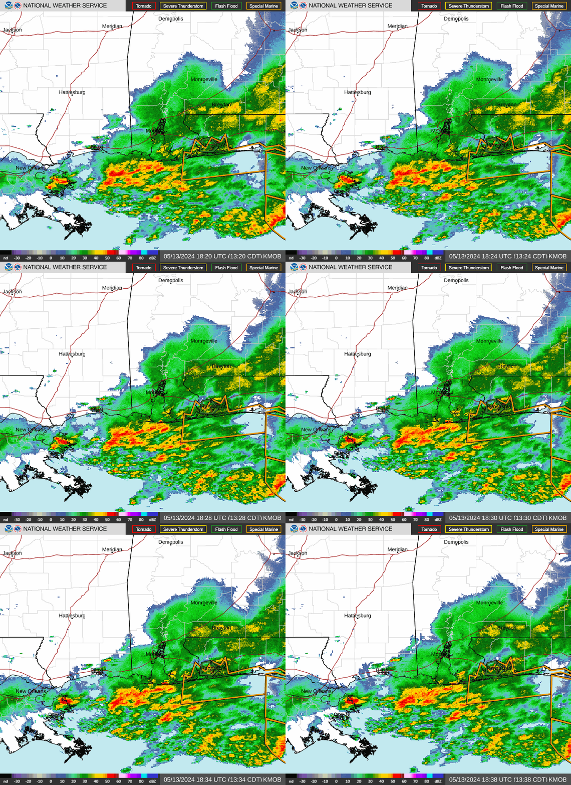
sector convection was fairly progressive across west-central
Mississippi, but also producing 0.5-1.5 inch/hr rain rates. The
storms are benefiting from confluence low-level flow in the warm
sector along with 2500 J/kg MLCAPE and 1.6-1.8 inch PW values.
Additionally, height falls overspreading the warm sector was
indicating appreciable ascent aloft, while minimal inhibition was
continuing to support ongoing convection along with occasional new
development across the discussion area.
The latest HRRR (20Z) appears to have a decent handle with
convection in central Louisiana currently, although upscale growth
appears to be occurring a bit quicker that depicted in that model.
It suggests southeastward movement/propagation of the band of
storms in central Louisiana over the next 4-6 hours, potentially
reaching the I-10 corridor after 02Z. More convection is also
expected to develop and merge into lines across central and
northern Mississippi with time. The presence of mergers and
localized training of cells suggests potential for occasional rain
rates hitting 2 inches per hour at times across the discussion
area. Localized 3 inch rainfall totals are expected through 04Z.
Soils are moist in a few areas - particularly where rainfall
occurred from an MCS that traversed the I-20 corridor early this
morning. FFGs are in the 1.5-2.5 inch/hr range in this general
vicinity, and rain rates should exceed those thresholds at times.
Farther south, FFGs are higher and soils are drier, suggesting
that a more focused convective training event and/or heavy
rainfall in urbanized areas would be needed for any flash flood
risk. The threat south of the US 98 corridor appears to be a bit
more isolated compared to farther north.
Cook


