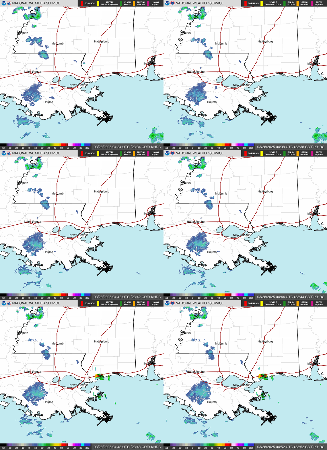
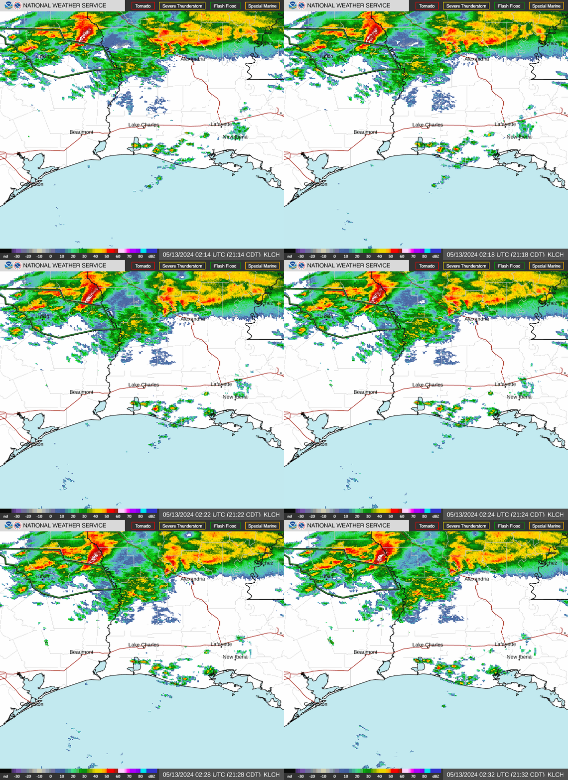
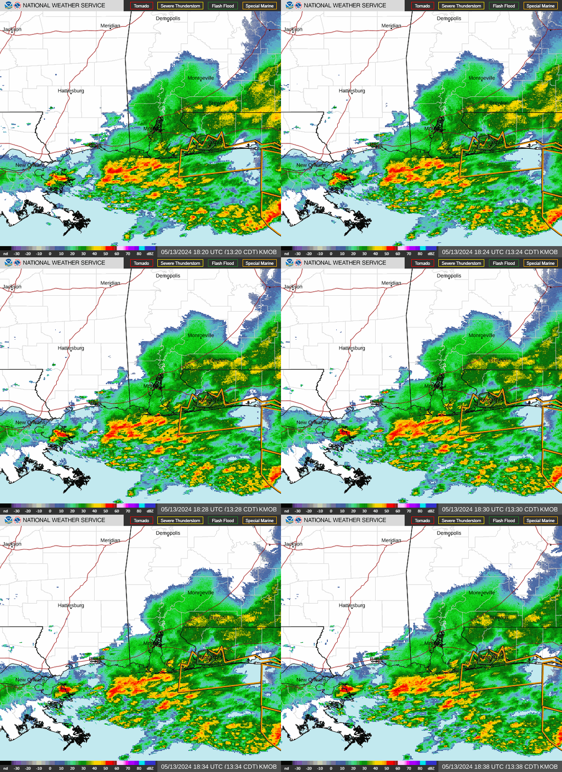
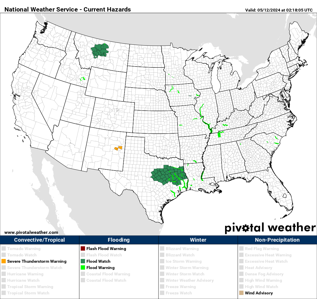
Post by Briella - Houma on Jan 1, 2017 1:43:19 GMT -6

Day 1 Convective Outlook
NWS Storm Prediction Center Norman OK
1212 AM CST Sun Jan 01 2017
Valid 011200Z - 021200Z
...THERE IS A SLIGHT RISK OF SEVERE THUNDERSTORMS ACROSS CENTRAL AND
EAST TEXAS...MAINLY LATE THIS EVENING TO EARLY MONDAY MORNING...
...THERE IS A MARGINAL RISK OF SEVERE THUNDERSTORMS SURROUNDING THE
SLIGHT RISK ACROSS MUCH OF TEXAS AND SOUTHERN OKLAHOMA TO THE
CENTRAL GULF COAST REGION...
...SUMMARY...
A few strong to severe thunderstorms will be possible this morning
and afternoon across part of southern Louisiana into the central
Gulf Coast region. Meanwhile, a greater severe-weather threat is
expected to develop by late this evening into the overnight and
early Monday morning across parts of central and east Texas.
...Synopsis...
Models remain in fairly good agreement with the track and timing of
a progressive and compact shortwave trough, currently moving
south-southeast along and just off the southern California coast per
water vapor imagery, as this system advances east toward Texas this
forecast period. This trough should tend to remain on the Mexico
side of the southwest U.S. international border today before
emerging into Far West Texas and the Pecos Valley this evening, and
then reaching central Texas by 12Z Monday. Southerly low-level flow
expected east of a high Plains trough will allow moisture to spread
poleward across central and east Texas to eastern parts of the Red
River Valley of the south, and across much of the Gulf Coast states.
A Pacific Cold Front will accompany the eastward-advancing
shortwave trough into Texas tonight.
...Central and east Texas...
A warm front will advance north, reaching the southern
Oklahoma/Texas border by 12Z Monday, and extending east into
northern portions of the central Gulf Coast states. Low-level
moistening is expected through this forecast period across much of
the warm sector with surface dew points in the mid-upper 60s
advecting north through much of southern to east Texas and the lower
Mississippi Valley. The lack of large-scale forcing through the
first half of the forecast period and the eastward-advancing plume
of steep midlevel lapse rates should effectively cap much of the
warm sector until 00-03Z.
Models suggest elevated convection could develop across Far West
Texas and adjacent southeast New Mexico by early evening as forcing
for ascent with the approaching shortwave trough reaches this area.
Thunderstorm development will increase in coverage and north-south
extension through late evening and overnight, as the strong forcing
for ascent and height falls spread into central Texas, reaching
greater low-level moisture/instability. Hail should be the primary
threat with initial storms, with strong wind gusts becoming an
increasing threat as storms reach central Texas where activity may
become surface based. Potentially concurrent with the damaging wind
threat will be an increase in the tornado potential, especially
along the strengthening southerly low-level jet as low-level
hodograph curvature increases. In addition to storms developing and
spreading east along the Pacific cold front, storm development
within the warm sector tonight will have the potential to produce
all severe hazards.
...Southern Louisiana to the central Gulf Coast region...
A moist warm sector is expected to spread farther inland today,
while cloudiness should tend to inhibit surface heating, resulting
in weak destabilization. Showers and embedded thunderstorms may be
ongoing across southern Louisiana into southwest Alabama at 12Z
today, with additional storms possible as a couple of weak midlevel
impulses track east/northeast across this region. Prior to
low-level winds weakening later today, deep southwesterly low-mid
level winds of 30-40 kt should prove favorable in supporting some
storm organization. Low severe wind and tornado probabilities are
forecast across this region, mainly from this morning into the
afternoon.
...Coastal area of western Oregon and far northwest California...
A positive-tilted large-scale trough is expected to evolve across
and west of the Pacific Northwest states this forecast period.
Thunderstorms will be possible across coastal areas of western
Oregon and far northwest California, as forcing for ascent and
steepening lapse rates occur within the leading portion of the
southward-advancing trough.


