HURRICANE ZETA Discussion Thread
Oct 28, 2020 10:30:35 GMT -6
Jess23 and Stacie-Lumberton, MS like this
Post by SKYSUMMIT on Oct 28, 2020 10:30:35 GMT -6

Mesoscale Discussion 1766
NWS Storm Prediction Center Norman OK
1126 AM CDT Wed Oct 28 2020
Areas affected...parts of southern and eastern
Louisiana...southeastern Mississippi...southwestern Alabama...and
western portions of the Florida Panhandle
Concerning...Severe potential...Tornado Watch likely
Valid 281626Z - 281900Z
Probability of Watch Issuance...95 percent
SUMMARY...Risk for brief tornadoes will increase with time from
southern Louisiana eastward to western portions of the Florida
Panhandle, with risk spreading northeastward/inland with time. A
tornado watch will be issued.
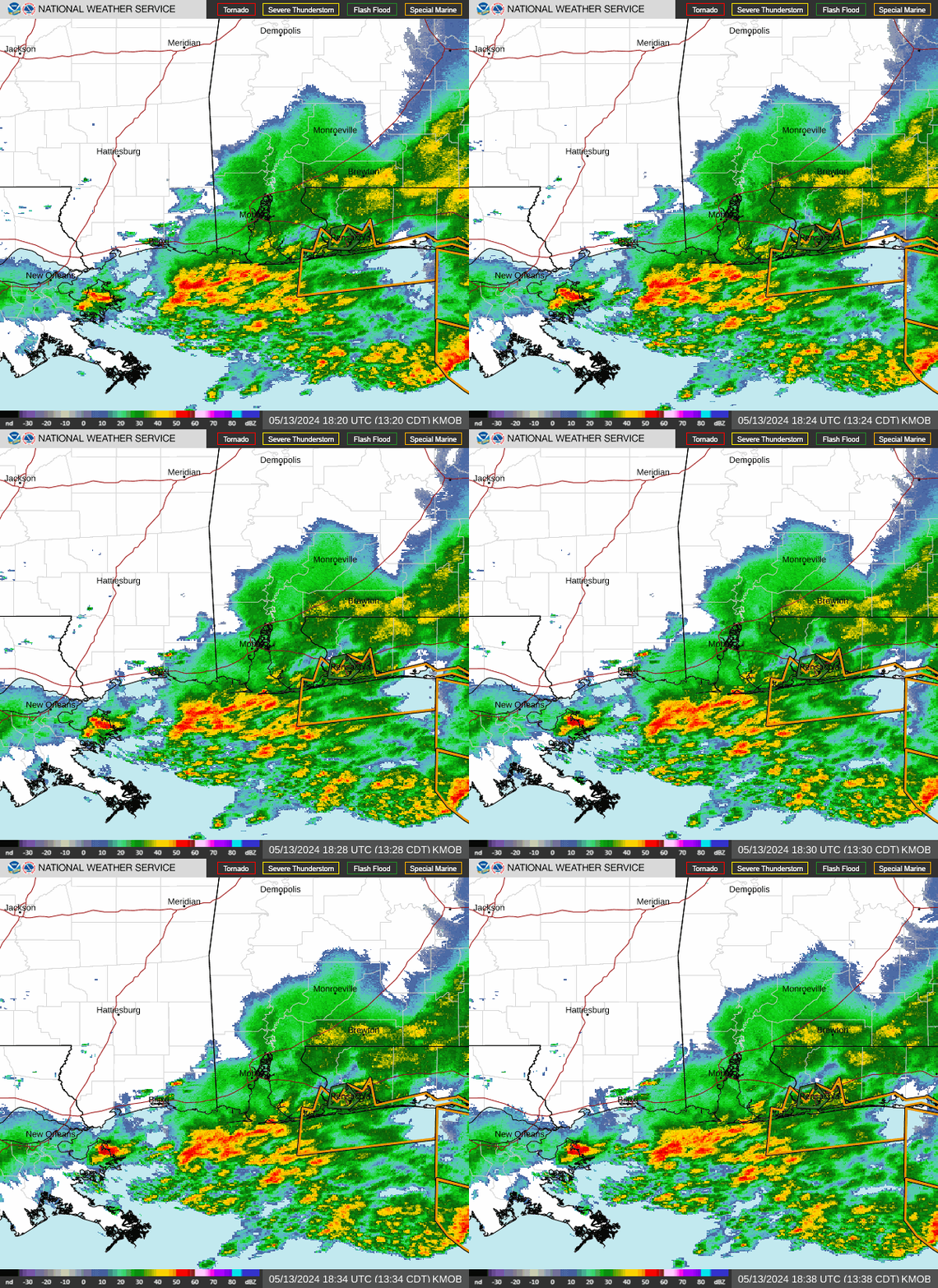
DISCUSSION...Latest visible satellite imagery shows Hurricane Zeta
over the Gulf of Mexico south of Louisiana, roughly 125 nautical
miles south of coastal Terrebonne Parish. The storm is moving
northward at around 18 mph, and is expected to make a gradual turn
to a more northeastward motion with time (please see the latest
forecasts from the National Hurricane Center), making landfall in
the Terrebonne/Lafourche Parish vicinity in roughly the 21Z to 22Z
time frame.
As the storm approaches the central Gulf Coast region, strong flow
surrounding the system will result in gradually strengthening
low-level shear across the area -- increasingly supportive of inland
updraft rotation. Cellular convection is currently indicated by
satellite/radar data in outer bands north and east of the center,
which will gradually spread onshore with time. While additional
diurnal heating across the discussion area will be substantially
hindered by expansive/associated cloud cover, rich Gulf moisture
that continues advecting northwestward (mid 70s surface dewpoints)
will contribute to minimally sufficient CAPE for persistence of a
few stronger cellular updrafts. As such, associated/accompanying
tornado risk will warrant Tornado Watch issuance, most likely by 18z
to 19Z.
..Goss.. 10/28/2020


