While I agree, the warm layer looks twice as small on this run and with wetbulbing could be why the model shows so much more snow on this run. But the way I look at it is regardless things are looking really NASTY.
I'd like to hear ndg opinion on the NAM skew T's since he's a lot more experienced with them than I am.
I'm used to looking at the skews for ULLs, since that's where the bulk of our snows have come from in the past few winters. The freezing column is sky high when they come around. I just want to see it freezing from the surface to at least 850mb before I get ready for the happy snow dance.
Post by sjbpgal-St. John Parish on Jan 25, 2014 9:48:10 GMT -6
I'm not nearly as knowledgeable with reading all the maps and stuff as some of you... but in order for us to get snow, all the lines (isobars) have to completely match up, right? While I'm not excited about the possibility of ANOTHER ice storm 3 days after the last one, knowing all the problems that has caused here, the fact that we're even talking about this again so soon is incredible.
I'm not nearly as knowledgeable with reading all the maps and stuff as some of you... but in order for us to get snow, all the lines (isobars) have to completely match up, right? While I'm not excited about the possibility of ANOTHER ice storm 3 days after the last one, knowing all the problems that has caused here, the fact that we're even talking about this again so soon is incredible.
They have to be left of the 0 degree column (and together...together = saturation). That would indicate a complete subfreezing column of air as you go up in the atmosphere. If at any point, they go to the right of the 0 degree line and then go back left, that's a warm layer which is what the NAM is showing. However, that warm layer is much thinner on this run than previous run.
Last Edit: Jan 25, 2014 9:55:37 GMT -6 by SKYSUMMIT
Buying or Selling Real Estate?--->scottguidry.com United Real Estate Partners - New Orleans / North Shore Scott Guidry, Realtor, ABR, AHWD, AWREP, C2EX Click HERE To Download My FREE MLS Touch App! NWS COOP ID: 16-7425-08 CoCoRaHs ID: LA-TG-23
Buying or Selling Real Estate?--->scottguidry.com United Real Estate Partners - New Orleans / North Shore Scott Guidry, Realtor, ABR, AHWD, AWREP, C2EX Click HERE To Download My FREE MLS Touch App! NWS COOP ID: 16-7425-08 CoCoRaHs ID: LA-TG-23
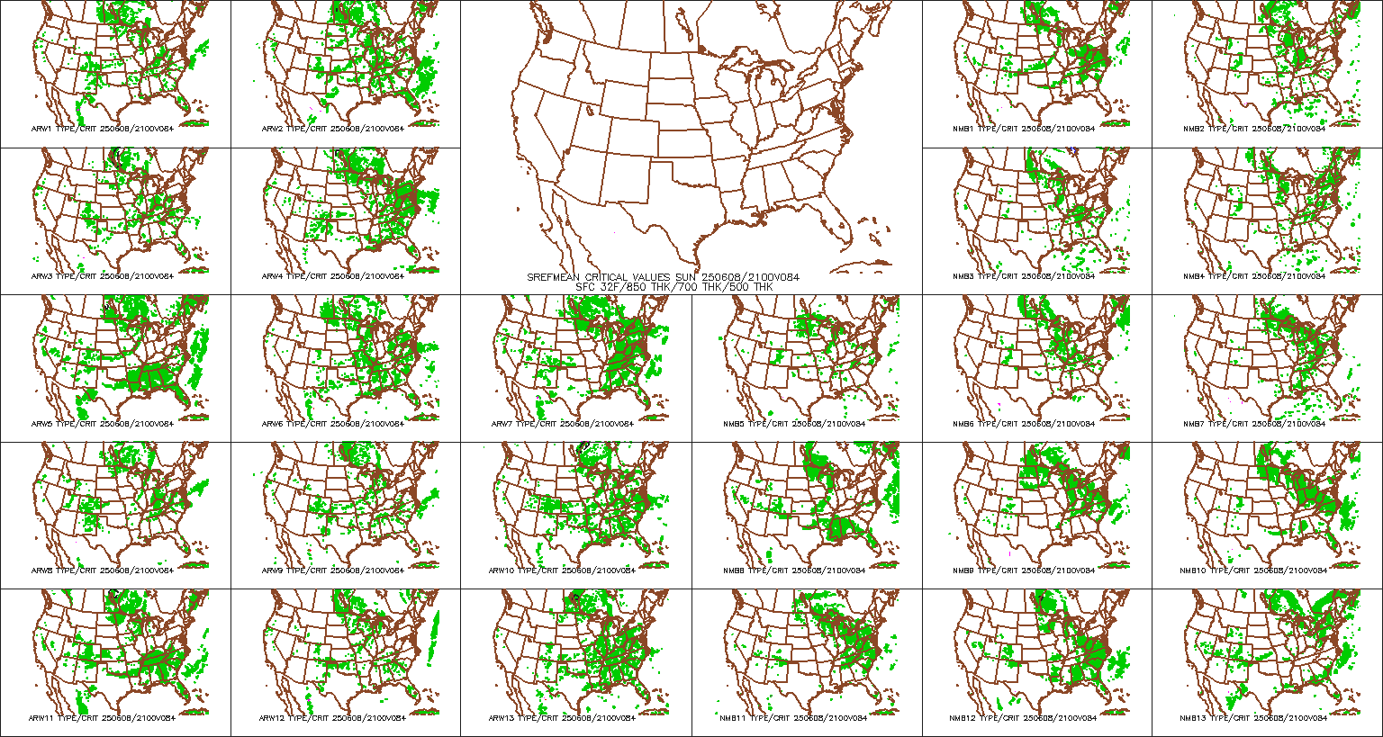
The soundings aren't really matching up with the snow depth maps. The freezing column looks only a couple of thousand feet deep. Looks waaaay more icy than snowy to me at this point.
While I agree, the warm layer looks twice as small on this run and with wetbulbing could be why the model shows so much more snow on this run. But the way I look at it is regardless things are looking really NASTY.
I'd like to hear ndg opinion on the NAM skew T's since he's a lot more experienced with them than I am.
Sorry, I have yet to look at this system for Tuesday, I had to get my 10 hr beauty sleep last night I will be checking at the forecast soundings over the next few minutes, I'll be back.
Post by beausoleil on Jan 25, 2014 10:48:42 GMT -6
I asked Larry Cosgrove last night on Facebook why the models have so much trouble with these gulf coast winter storms. He says they pick them up just fine, but then when they go through the climatology filter, that tells the model that its not supposed to snow in south Louisiana.
Sort of like it would be 1940 and young meteorologist brings his hand drawn maps to his boss for review, and the boss says, "It doesn't snow in New Orleans. Now go back to work and bring me a forecast that makes some sense!"
BTW, Larry Cosgrove is very patient and understanding in answering questions from the public through his facebook page.
SKYSUMMIT
Administrator President | Director of Operations
I asked Larry Cosgrove last night on Facebook why the models have so much trouble with these gulf coast winter storms. He says they pick them up just fine, but then when they go through the climatology filter, that tells the model that its not supposed to snow in south Louisiana.
Sort of like it would be 1940 and young meteorologist brings his hand drawn maps to his boss for review, and the boss says, "It doesn't snow in New Orleans. Now go back to work and bring me a forecast that makes some sense!"
BTW, Larry Cosgrove is very patient and understanding in answering questions from the public through his facebook page.
Dang, that's interesting. I never knew there was such a thing as a "climatology filter". Interesting.
Buying or Selling Real Estate?--->scottguidry.com United Real Estate Partners - New Orleans / North Shore Scott Guidry, Realtor, ABR, AHWD, AWREP, C2EX Click HERE To Download My FREE MLS Touch App! NWS COOP ID: 16-7425-08 CoCoRaHs ID: LA-TG-23
I asked Larry Cosgrove last night on Facebook why the models have so much trouble with these gulf coast winter storms. He says they pick them up just fine, but then when they go through the climatology filter, that tells the model that its not supposed to snow in south Louisiana.
Sort of like it would be 1940 and young meteorologist brings his hand drawn maps to his boss for review, and the boss says, "It doesn't snow in New Orleans. Now go back to work and bring me a forecast that makes some sense!"
BTW, Larry Cosgrove is very patient and understanding in answering questions from the public through his facebook page.
Dang, that's interesting. I never knew there was such a thing as a "climatology filter". Interesting.
Let me make it clear that he did not use the term "climatology filter". That is the term I used to describe what he said. He says climatology tells the models that its not supposed to snow here, and tends to filter out these storms as not being consistent with what is supposed to happen.
Shoutbox
northshoreelise: not on the 12z...
Oct 10, 2024 12:15:21 GMT -6
lencast: Really would appreciate it. Thank you, Lena
Sept 27, 2024 5:20:46 GMT -6
lencast: I am in Jacksonville, and trying to drive back to New Orleans. Does anyone here know if the I-10 is passable in Lake City and Tallahassee.
Sept 27, 2024 5:19:03 GMT -6
tcane: This sure looks like it dies quickly. maybe falling apart before metro New Orleans? Just looking at the lat dozen posts and images here.
Sept 10, 2024 11:26:27 GMT -6
rebekahb-Metairie: Looks like it but I wait for the better trained eyes on the forum to respond.
Sept 9, 2024 18:52:32 GMT -6
SKYSUMMIT: Oh sorry guys! I didn't eve see these new messages down here lol
Jul 26, 2024 13:14:47 GMT -6
jenniqtip: Just as soon as* sry fat finger
Jul 7, 2024 12:53:35 GMT -6
jenniqtip: I donate every year. 😀ju sry as soon as the first area of interest pops up!! I rarely post though so the tag isn’t necessary. Just know I appreciate everything you do!!
Jul 7, 2024 12:53:12 GMT -6
larcat: SKYSUMMIT You can slap one on me
Jul 7, 2024 12:12:03 GMT -6
SKYSUMMIT: Thanks laismyhome ! Also, if there is anyone who has donated that has not been given the Supporter tag, please let us know.
Jul 7, 2024 4:00:50 GMT -6
laismyhome: Here's a friendly reminder to go make a donation to support this forum that is so full of valuable reliable info. Link to donate is on homepage
Jul 2, 2024 9:55:24 GMT -6
Deleted: Ernesto gonna mog hard. I'm voting Alberto, Ernesto, Rafael and Deshawn
Apr 1, 2024 19:15:21 GMT -6
SKYSUMMIT: ShanaBanana Yes...just click the link and then send a PM to either TIgergirl or myself. I can then shoot her a text letting her know and I'll add your supporter tag. THANK YOU!!!!
Sept 23, 2023 16:08:37 GMT -6
ShanaBanana: At the risk of this being a dumb question. In order to donate, do I follow the instructions when I click “donate”, and then message tigergirl? I see people comment here that they donated, so I wasn’t sure if that had changed.
Sept 20, 2023 10:54:40 GMT -6
SKYSUMMIT: Great to have you back!
Sept 11, 2023 12:20:30 GMT -6
virginialee: Hi Skysummit: I was part of this back at the beginning. So happy to be back.
Sept 8, 2023 5:08:12 GMT -6
SKYSUMMIT: Thanks to everyone who has recently donated! If I missed anyone and you still need a Supporter Tag, let me know.
Sept 7, 2023 13:20:10 GMT -6
akeller11: Just donated
Sept 6, 2023 11:11:36 GMT -6
SKYSUMMIT: Thanks guys and gals! You're very much appreciated!
Aug 30, 2023 11:48:38 GMT -6